 TBSD60
 BSD120
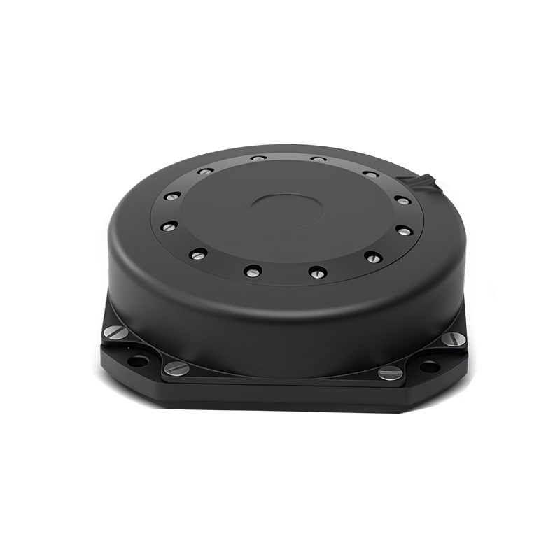 BSD98
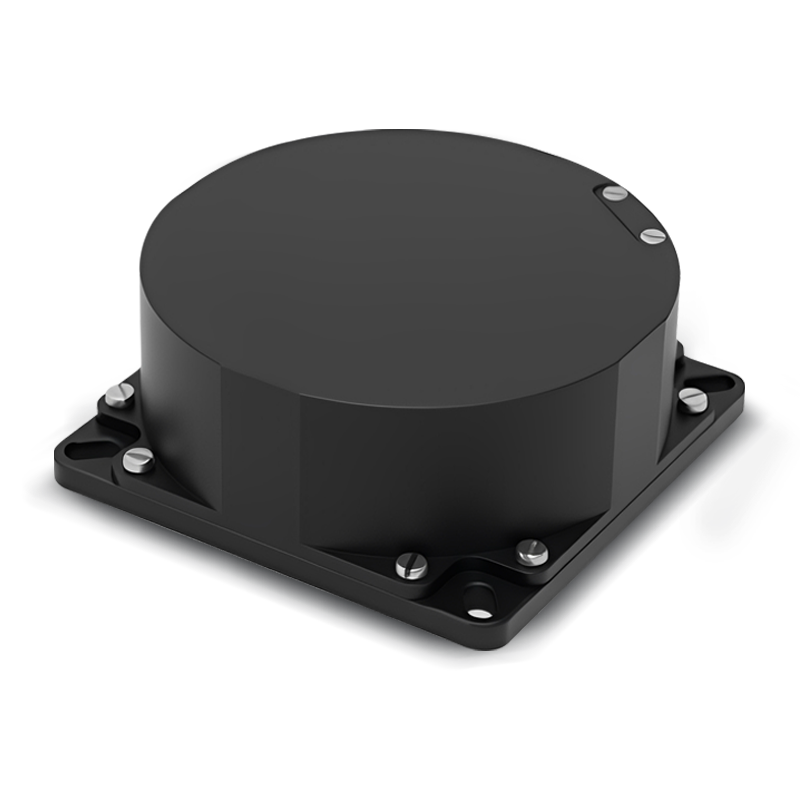 BSD70
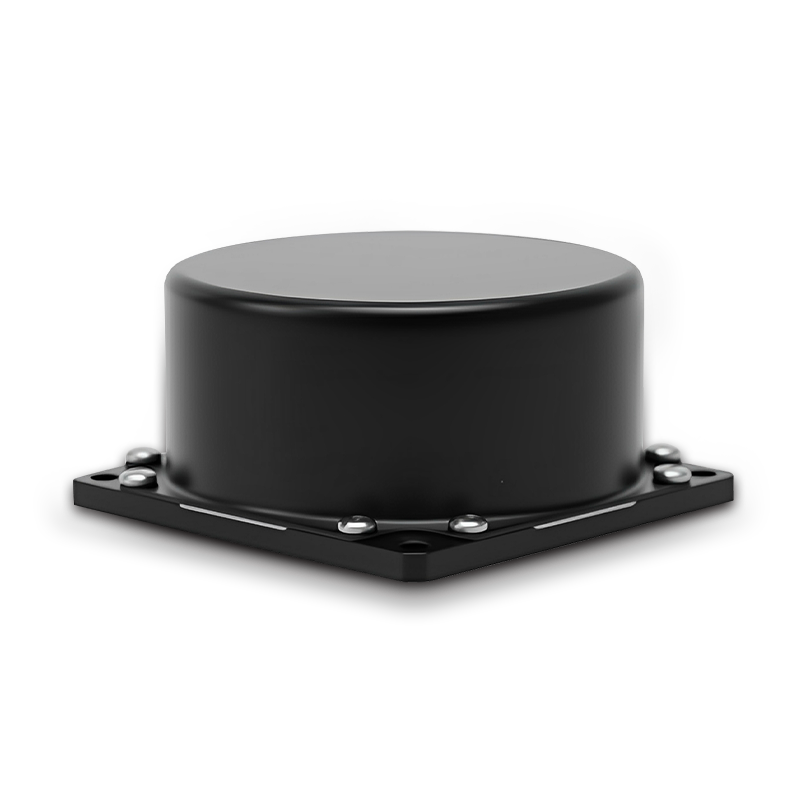 BSD60
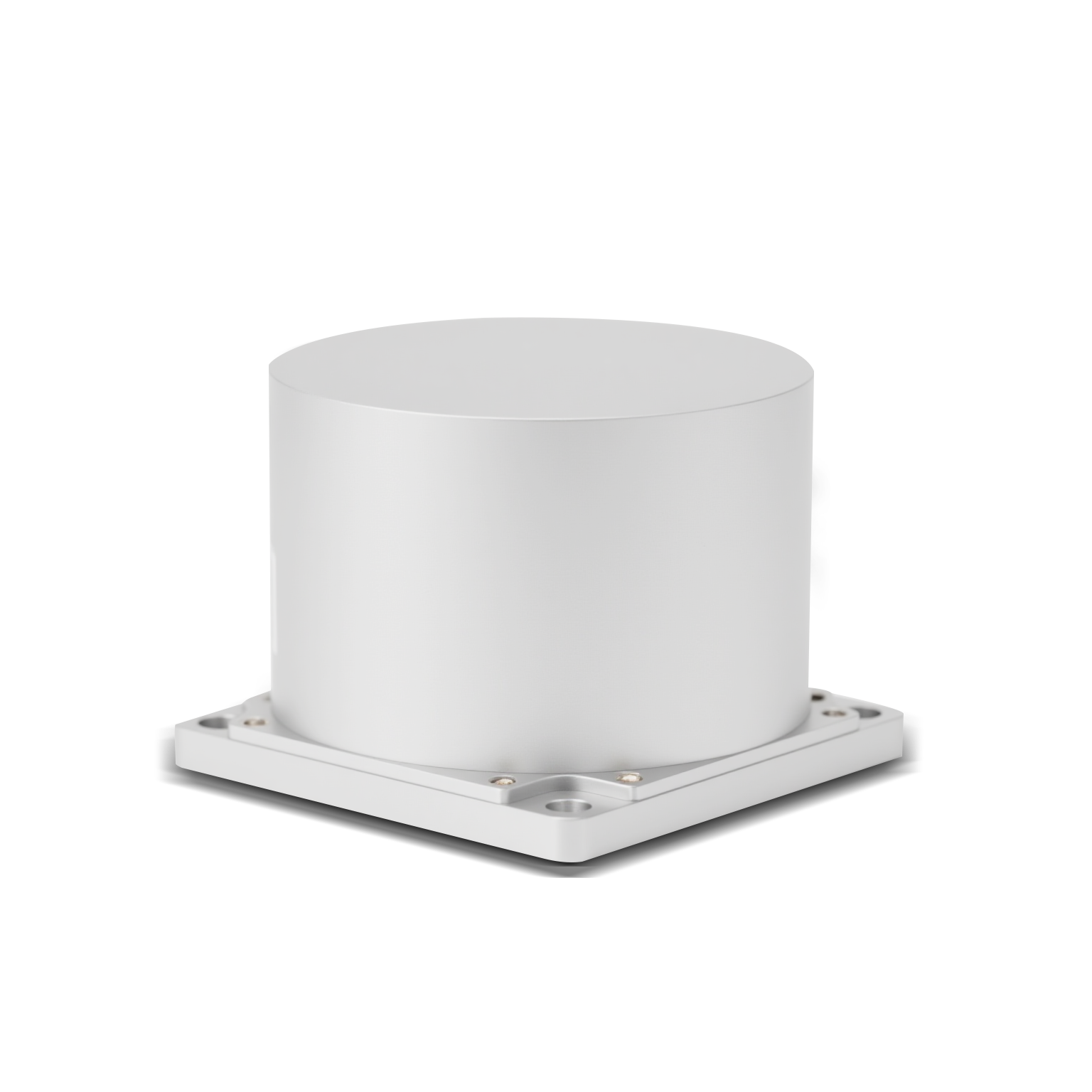 BSD50
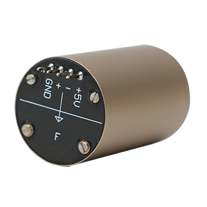 BSD217
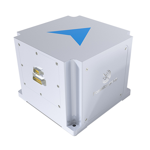 INS1700
 INS970
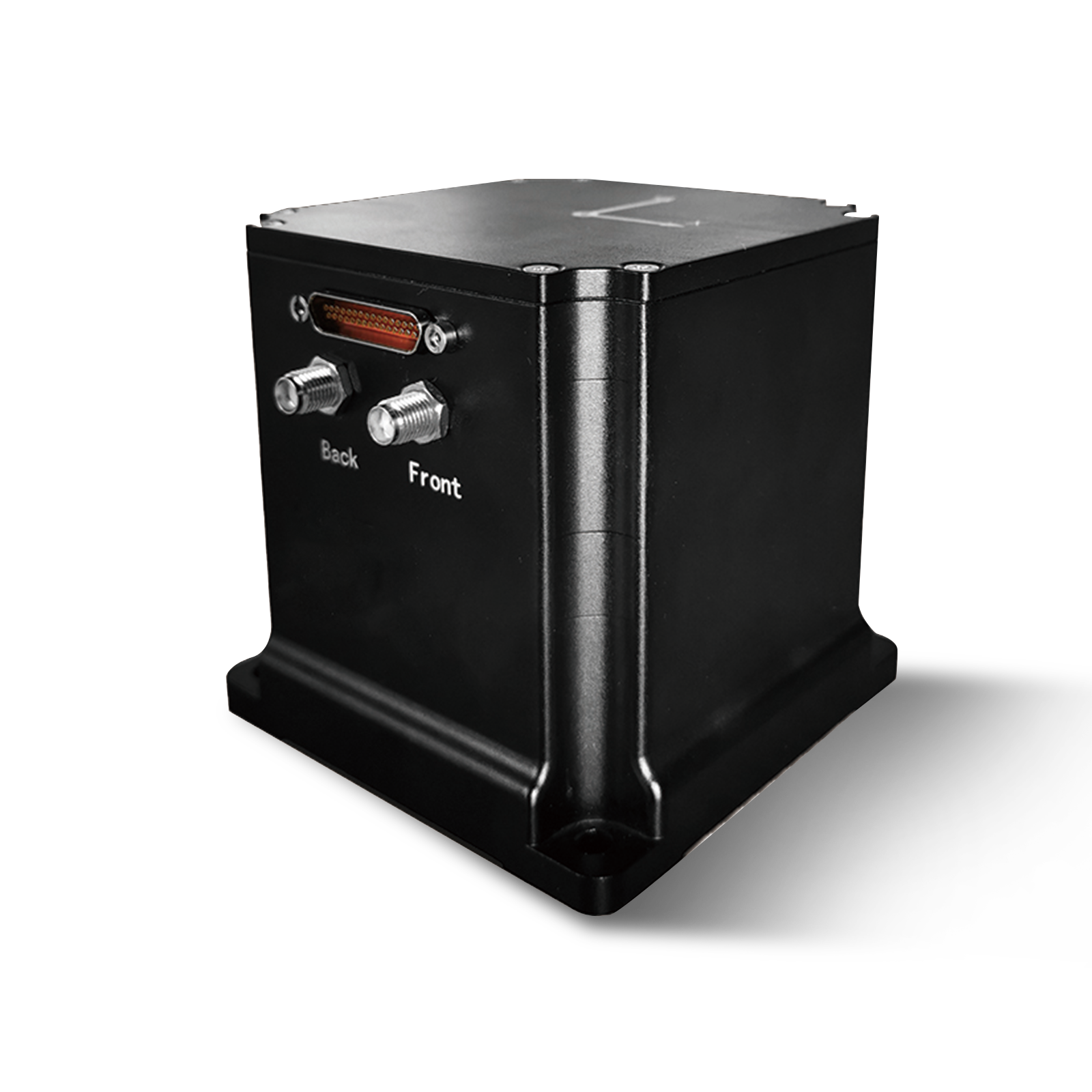 INS570
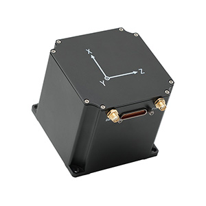 INS170
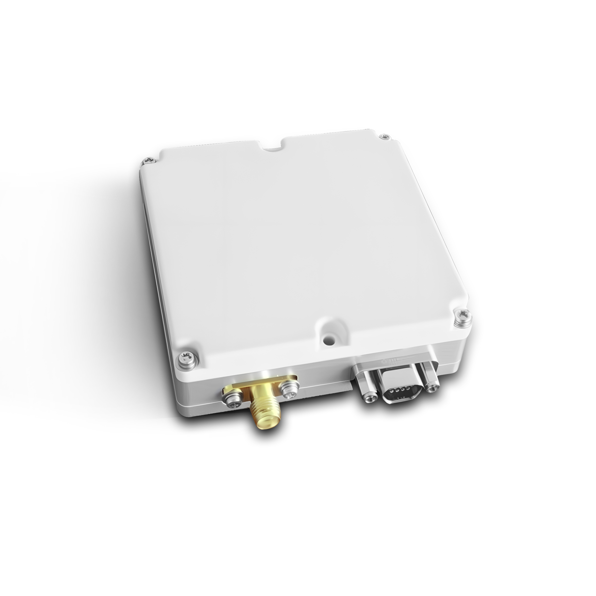 SLA-4B1L1-65
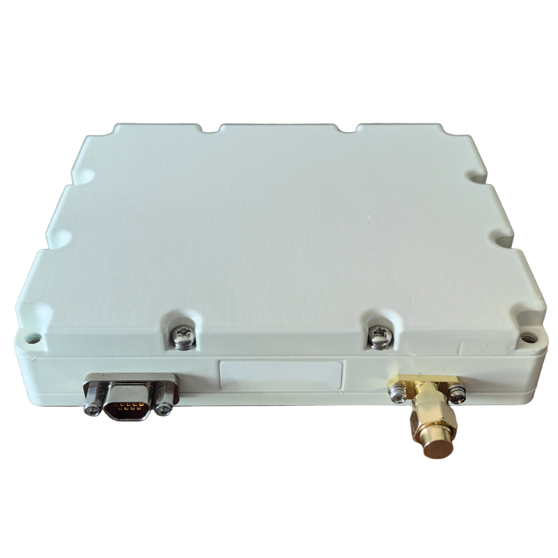 SLA-8B1L1-110
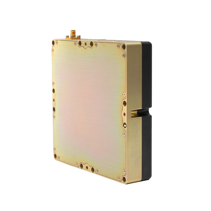 SLA-4B1L1-130
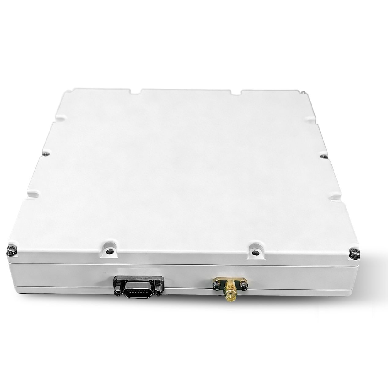 SLA-16B1L1-160
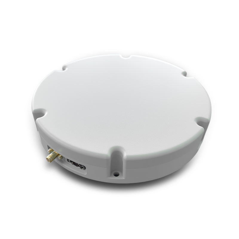 SLA-8B1L1-165
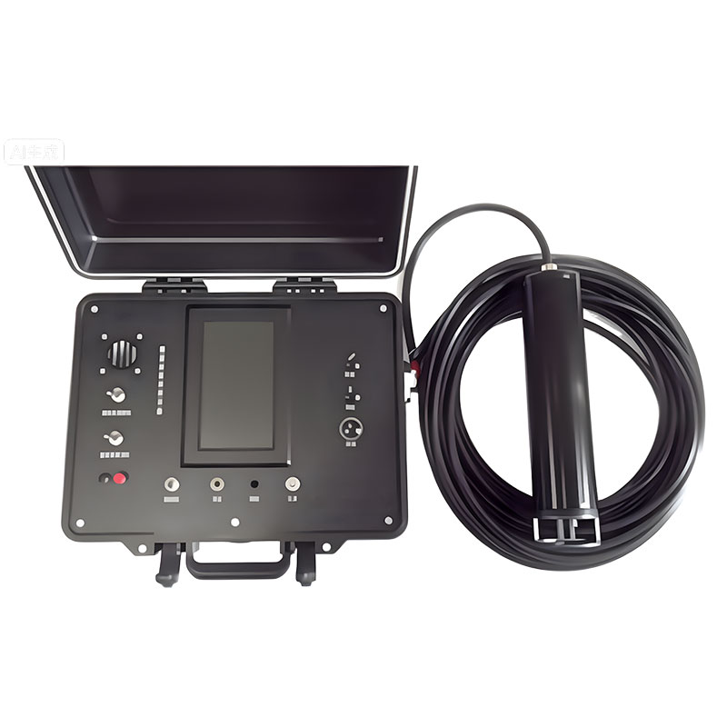 101 Vessel-mounted Positioning
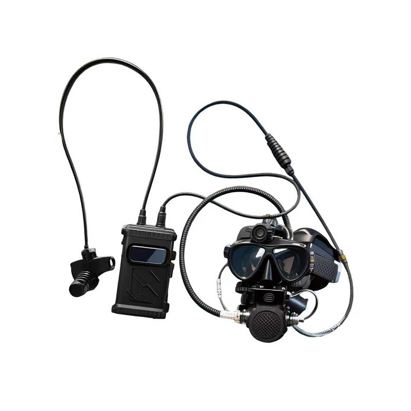 102 Acoustic Communication
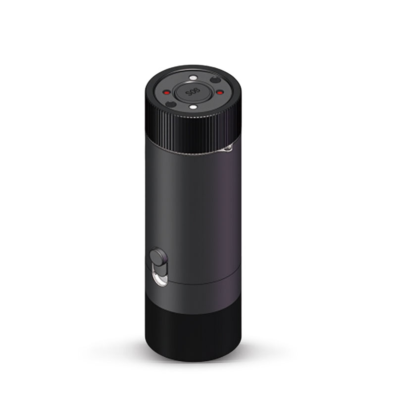 103 Tracking and Locating
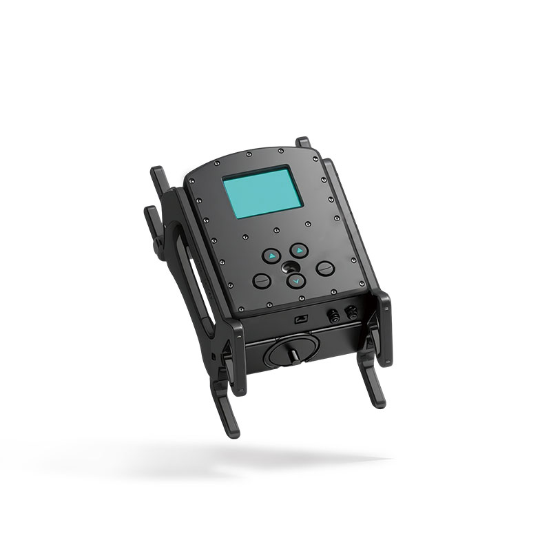 104 Diver Navigation System
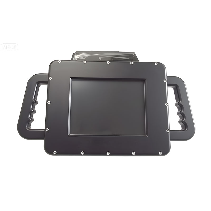 105 Intrusion Detection Sonar
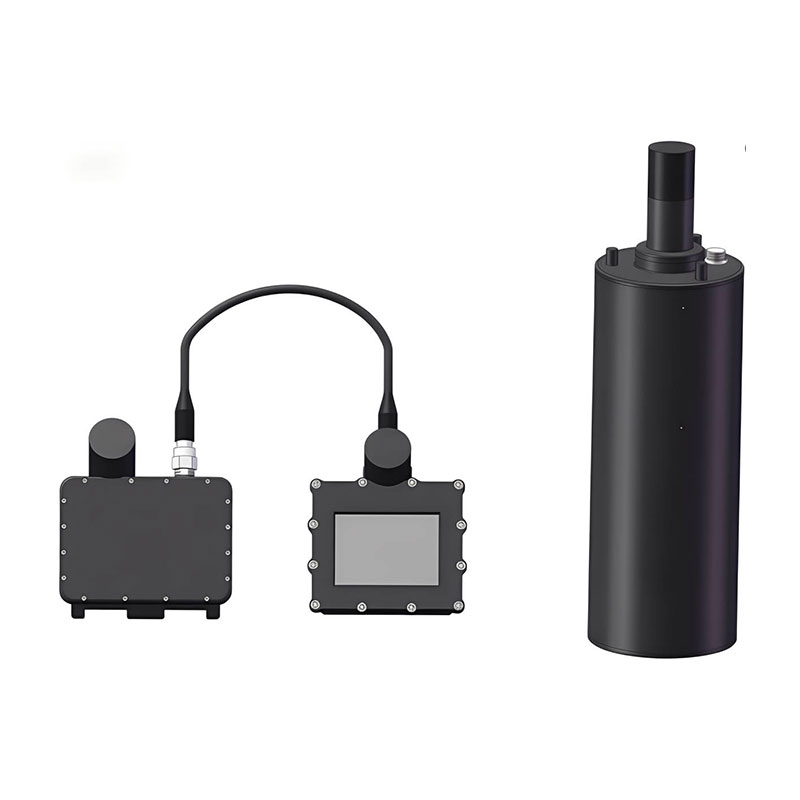 106 Delivery Locator Beacon
 SLLR3000
 SLLR905
 SLLD25
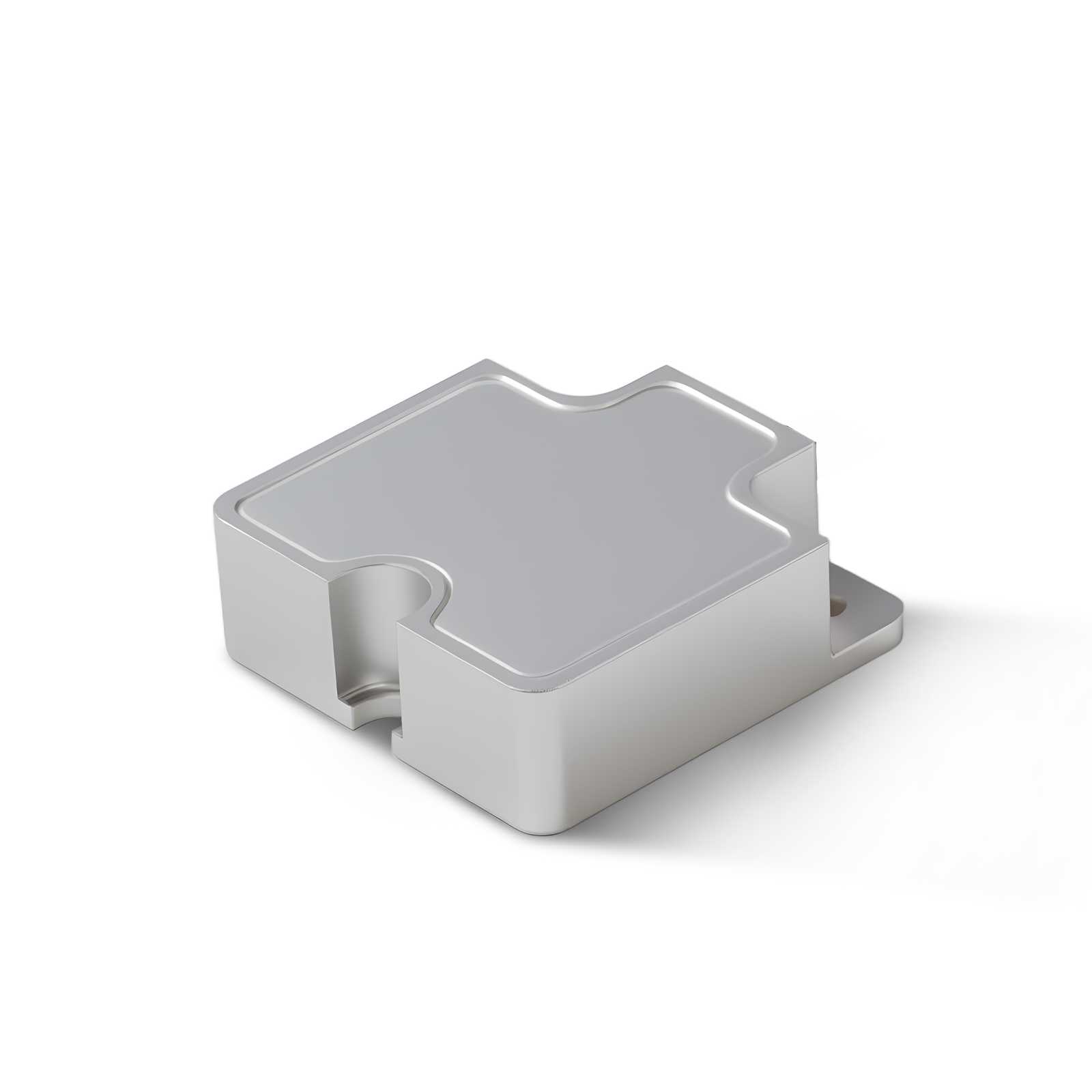 108IMU
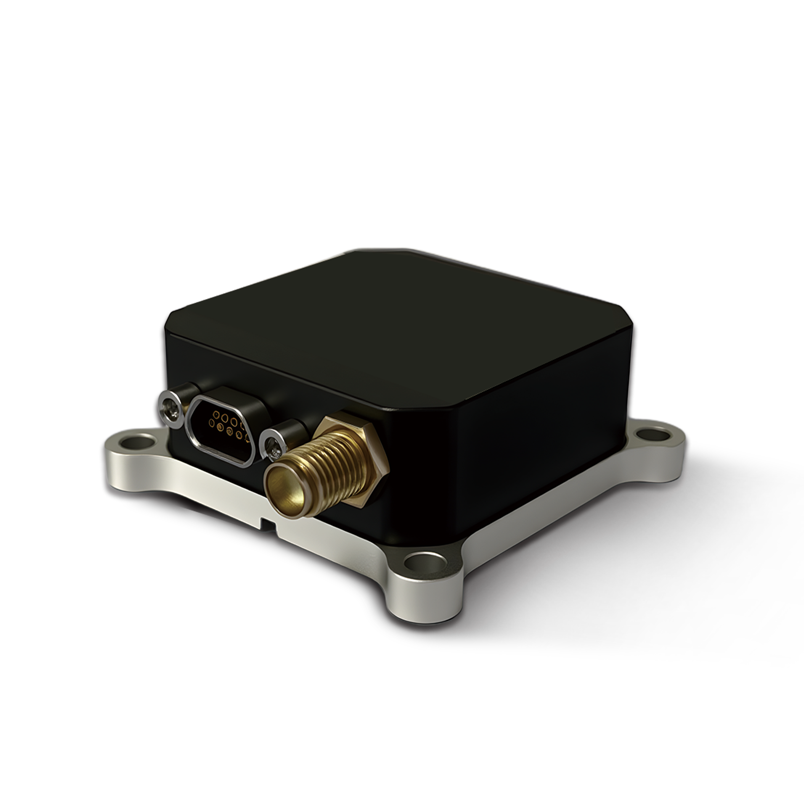 150M
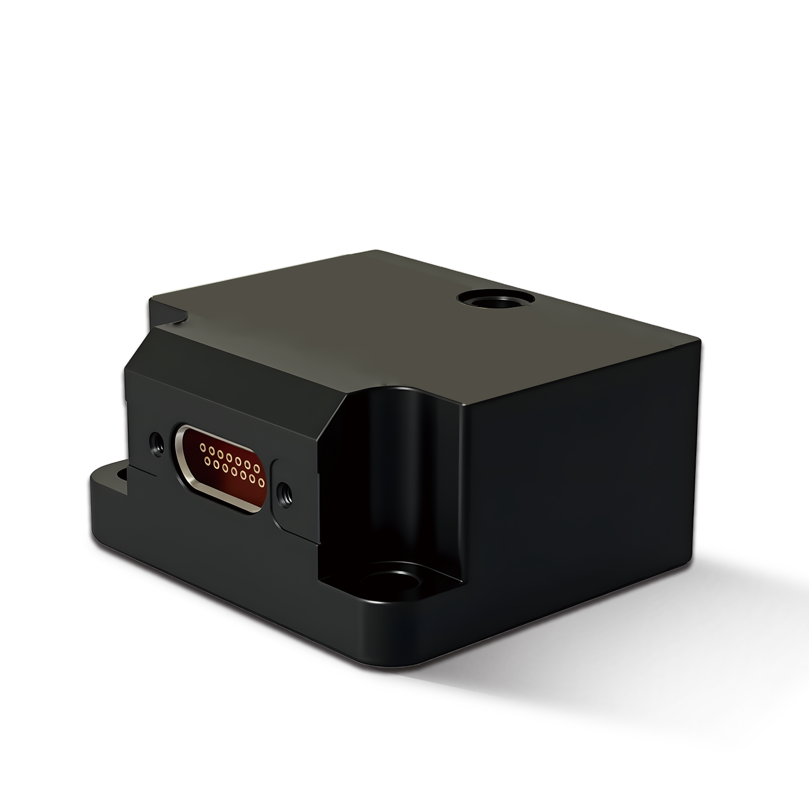 500MH
 160M
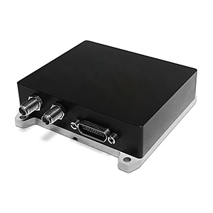 170M
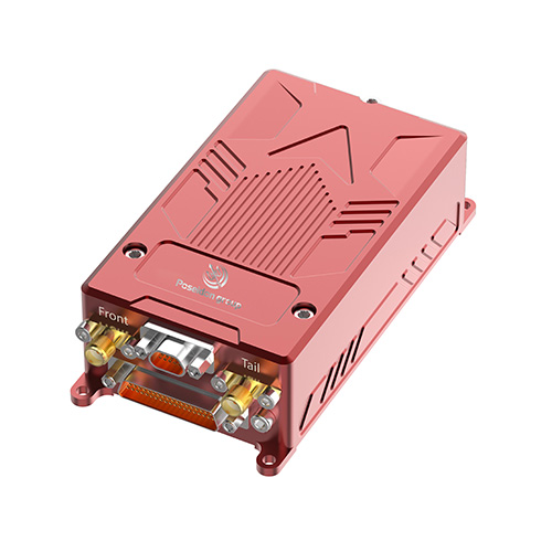 SLFC-70
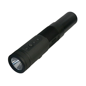 SLAF280
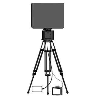 MR360
Leave Your Message


Explore our high-performance lightweight inertial sensors optimized for UAV photogrammetry, corridor mapping, and autonomous operations across Algerian territories.
Poseidon International Group (Hong Kong) Limited — Connecting the World Through High Accuracy Navigation Technology
Based in Hong Kong, we are a global enterprise dedicated to delivering high-quality products and professional services. We have established long-term, stable, and efficient partnerships with numerous suppliers worldwide, ensuring competitive pricing and superior product quality.
As a key supplier serving the Algerian market, we customize our advanced inertial mapping units (IMUs) and integrated navigation systems to meet the unique environmental challenges of North Africa. From the coastal urban developments in Algiers and Oran to the harsh, remote expanses of the Sahara Desert, our technology delivers reliable performance where GNSS signals are disrupted or completely unavailable.
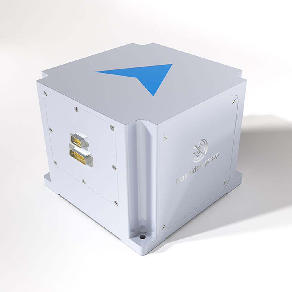
Algeria, as the largest nation in Africa, is experiencing rapid industrial modernization. The country's unique geographical features—stretching from the bustling Mediterranean coastline to the vast, resource-rich Sahara Desert—present distinct challenges for mapping, positioning, and navigation. As a result, the demand for high-precision Inertial Mapping Units (IMUs) and Inertial Navigation Systems (INS) has surged across multiple sectors, including oil and gas exploration, infrastructure development, mining, and precision agriculture.
In the vast Sahara Desert, sandstorms and remote topography often lead to severe GNSS (GPS) signal degradation or outages. High-performance IMUs are critical to maintaining precise orientation and position data for mapping drones and land survey vehicles without relying on satellite signals.
Algeria’s economy is heavily anchored by its oil and gas sector, led by state-owned enterprises like Sonatrach. Thousands of kilometers of pipelines cross the Sahara, demanding regular inspection, corridor mapping, and structural monitoring. Mobile mapping systems equipped with tactical-grade IMUs allow surveying crews to accurately map pipeline coordinates and detect ground shifts, ensuring operational safety even in completely GNSS-denied environments.
Under the Algerian government's infrastructure development programs, major transport networks such as the East-West Highway and the High Plateaus railway line are undergoing modernization. Surveying tunnels, bridges, and complex terrains requires continuous attitude and heading reference systems (AHRS). Our lightweight inertial sensors provide real-time, high-precision attitude data, preventing construction delays and ensuring structural alignment during excavation and grading.
The development of major mineral reserves, such as the Gara Djebilet iron ore project in western Algeria, highlights the transition toward automated mining. Heavy machinery, autonomous haul trucks, and geological mapping drones rely on robust IMUs to navigate safely inside deep open-pit mines where high rock walls block satellite signals. Our digital sensors guarantee uninterrupted operation, enhancing site safety and productivity.
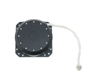
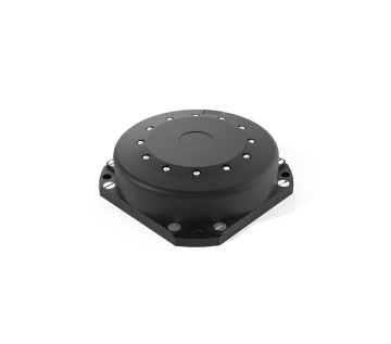
In regions like Biskra and El Oued, modern agricultural projects are utilizing UAVs (unmanned aerial vehicles) for crop monitoring and soil mapping. Lightweight IMUs, such as the BSD98 and TBSD60, are integrated into drone payloads to stabilize cameras and multi-spectral sensors, ensuring the capture of distortion-free spatial data for smart irrigation planning.
By controlling the entire process from sensor design to algorithm optimization, we deliver cost-effective and highly reliable navigation solutions.
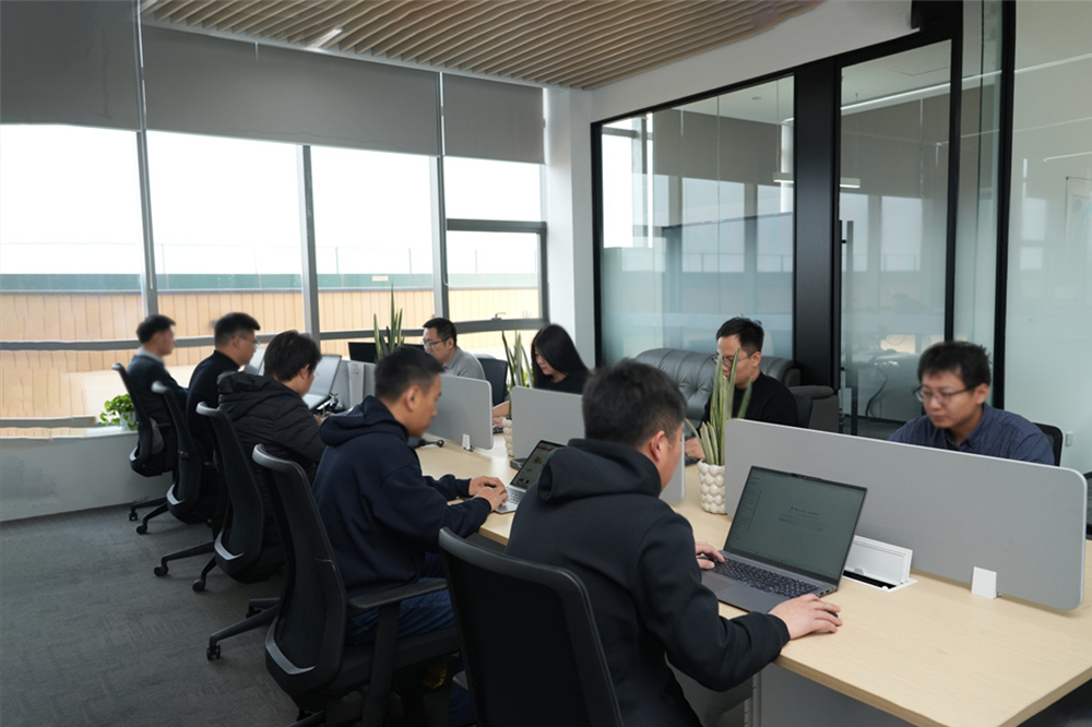
Reducing costs by 25% through in-house design of critical optical and mechanical components.
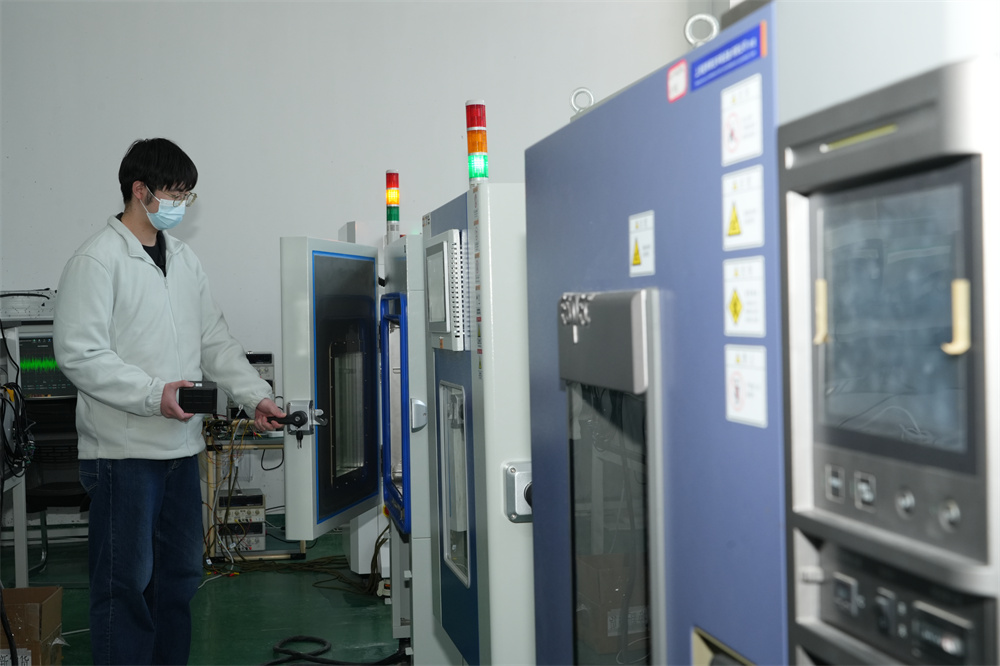
Improving performance by 20% with advanced multi-sensor data fusion and error compensation.
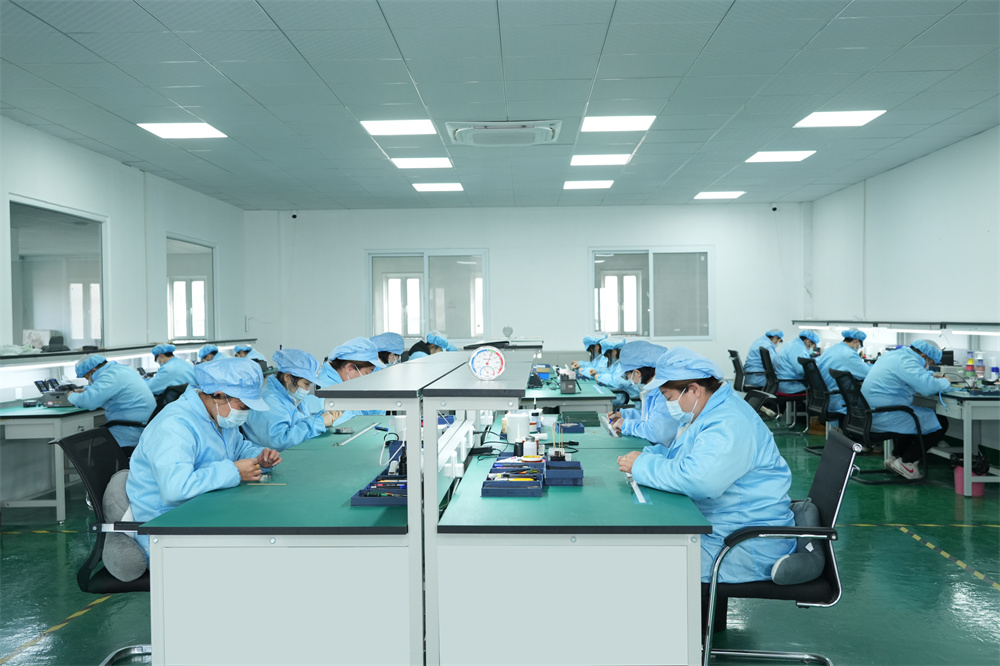
Ensuring stable quality, high efficiency, and rapid lead times for large-scale Algerian projects.
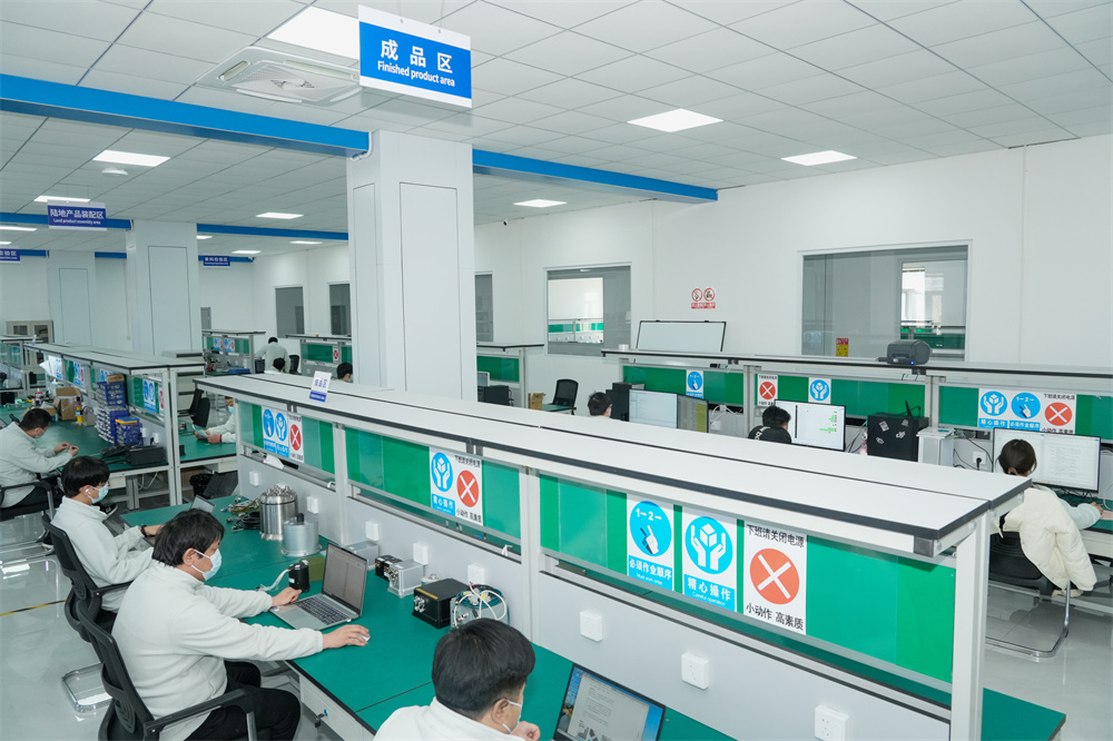
Delivering cross-industry solutions from raw sensor components to fully integrated mapping systems.


As Algeria positions itself as a technological hub in North Africa, the local application of Inertial Mapping Units has diversified. Understanding these scenarios helps Algerian engineering firms select the correct sensor grades for their projects.
The Wilaya of Algiers is actively investing in smart city technologies to optimize traffic flow, urban planning, and utility mapping. Mobile mapping vehicles equipped with LiDAR and integrated Poseidon IMUs drive through the city to generate 3D digital twins. The IMU plays a critical role in maintaining mapping accuracy when the vehicle passes under bridges, through tunnels, or between tall buildings (urban canyons) where GPS signals bounce or disconnect.
In the southern oil fields of Hassi Messaoud, seismic survey trucks use geophones and positioning systems to map underground oil reservoirs. Because these operations occur in featureless desert plains, precise trajectory tracking is mandatory. Tactical-grade Fiber Optic Gyroscope (FOG) IMUs provide the sub-degree heading accuracy required to align seismic data with global coordinate systems.
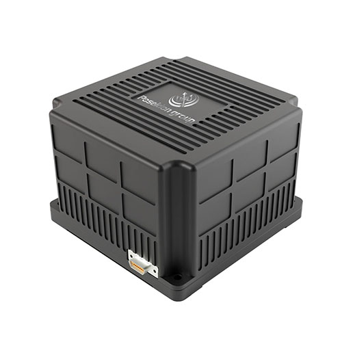
Mapping linear infrastructure like railways across the Atlas Mountains involves navigating rugged terrain with rapid elevation changes. Surveying teams deploy fixed-wing UAVs equipped with our lightweight BSD120 sensors. The sensor's low weight allows for longer flight times, while its high dynamic stability ensures that the aerial images are perfectly orthorectified, saving weeks of manual ground surveying.
Discover how our manufacturing facilities and engineering expertise support custom navigation solutions globally.
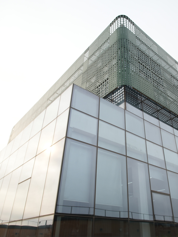
We specialize in the independent research, design, and production of fiber optic gyroscopes (FOG), inertial navigation systems (INS), attitude and control systems, autonomous driving systems, and intelligent control systems for unmanned equipment. By integrating industry-specific requirements, we have made significant technological advancements in digitalization, automation, and intelligence, securing multiple technical patents. With years of experience, we have evolved into a multi-industry intelligent solutions provider with a portfolio of proprietary core technologies.
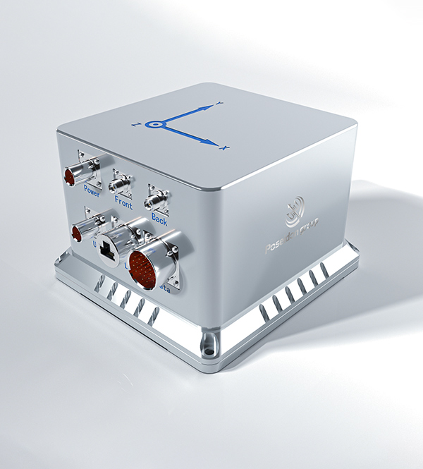
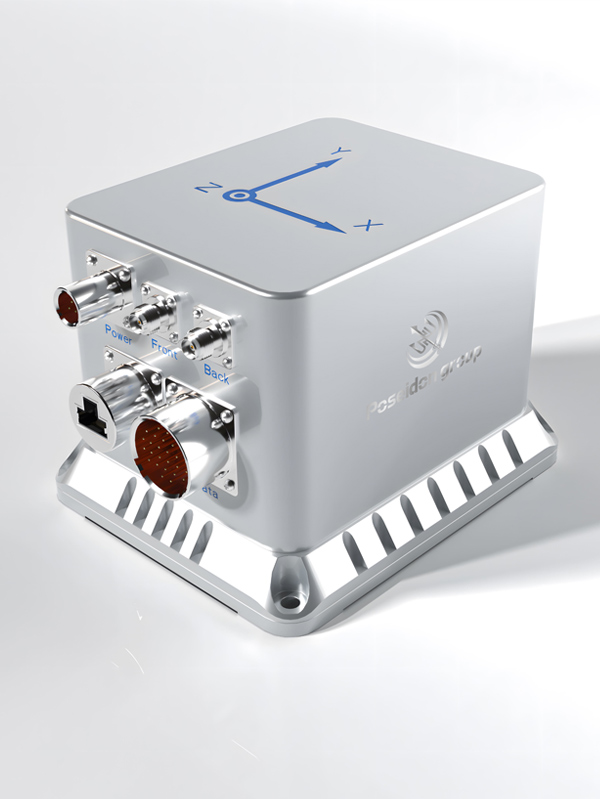
Our core team comprises seasoned experts with extensive backgrounds in aerospace and inertial navigation. We have successfully tackled critical technological challenges in high-precision GNSS-free navigation, laser measurement, integrated navigation, multi-source data fusion, and precise positioning—areas that were once bottlenecks in the industry. This expertise allows us to support complex geological mapping surveys across Algeria’s diverse landscapes.
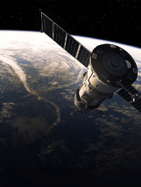

Our products are smaller in size, higher in accuracy, and more stable in performance, featuring long-term dynamic auto-calibration with zero-drift operation. They are widely adopted in scientific research, industrial control, intelligent unmanned systems, high-precision detection, and metrology. Having passed rigorous validation in aviation, aerospace, marine, mining, and railway applications, our solutions have been procured in bulk, filling key technological gaps.
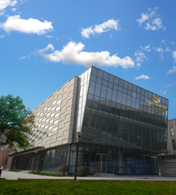
We operate over 6,000-square-meter manufacturing facility in mainland China, equipped with advanced R&D, production, and testing infrastructure, enabling large-scale production and timely delivery. Our network of subsidiaries, offices, and spare parts warehouses ensures prompt technical support and after-sales service for international clients, including partners in Algeria.
Why engineering companies and mapping agencies in Algeria choose Poseidon as their primary supplier.

Creating mutually beneficial relationships with clients and partners in the Algerian market.

Commitment to ethical business practices, strict quality control, and compliance.

Providing clear, one-time offers with no hidden costs, maximizing ROI for public and private tenders.

24/7 service guarantee in all time zones, ensuring minimal response time for local engineering teams.
Browse our full catalog of tactical gyroscopes and integrated navigation systems designed for deep integration and harsh environments.