
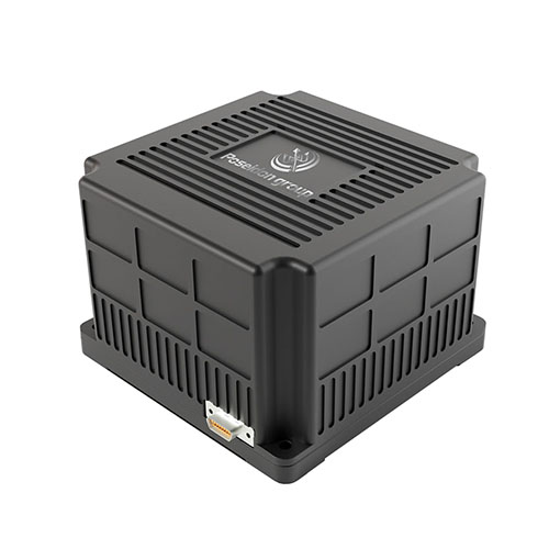
 TBSD60
 BSD120
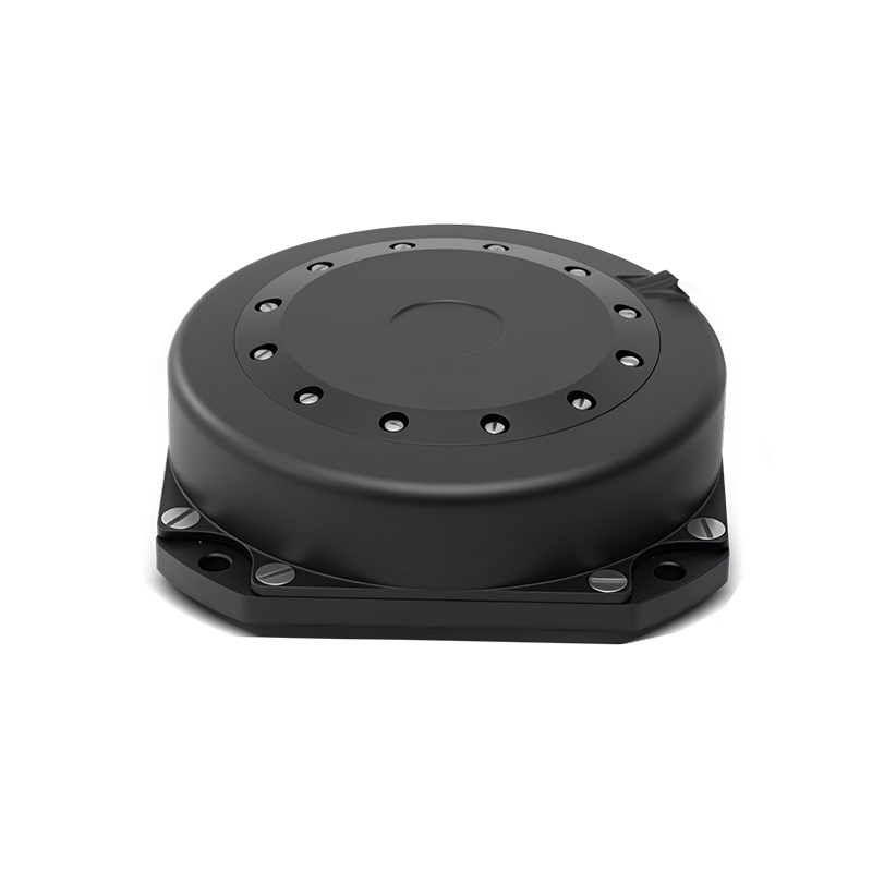 BSD98
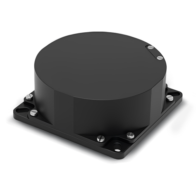 BSD70
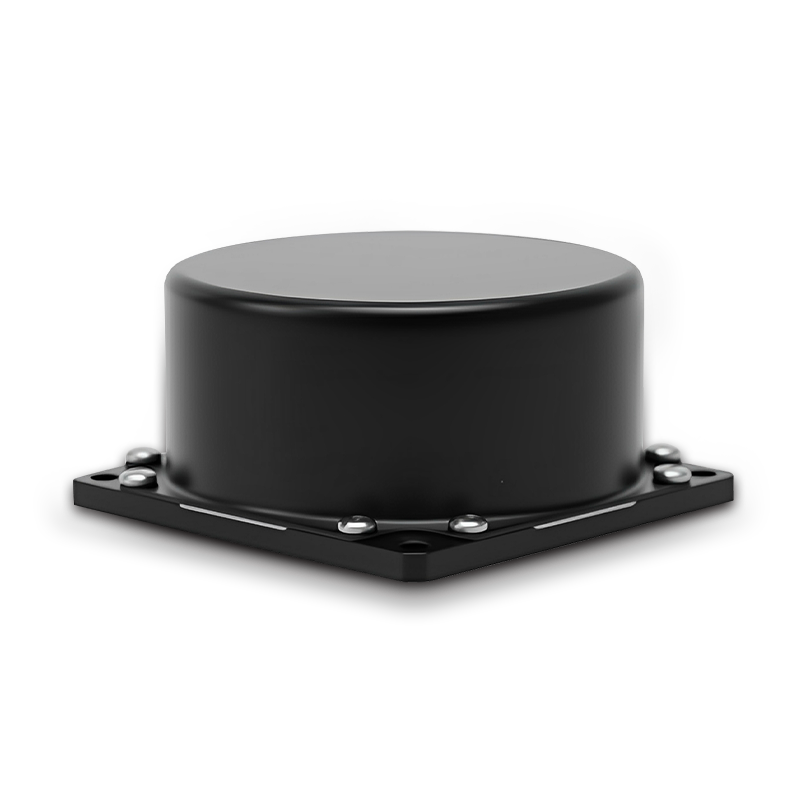 BSD60
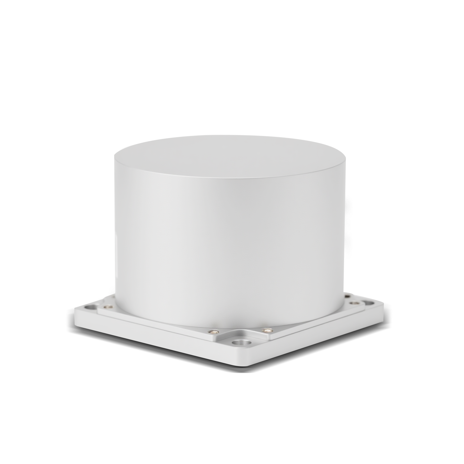 BSD50
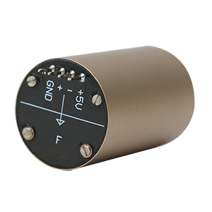 BSD217
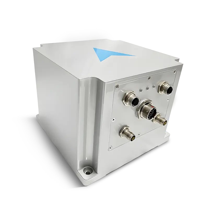 INS1700
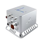 INS970
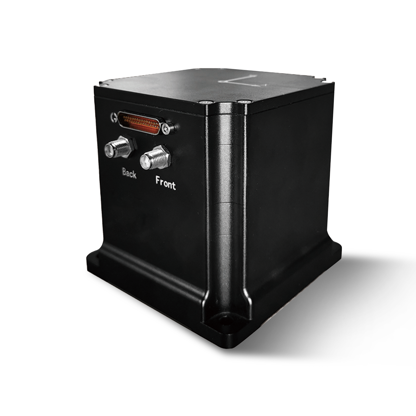 INS570
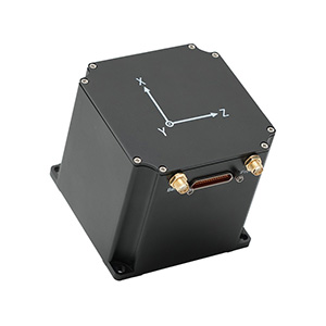 INS170
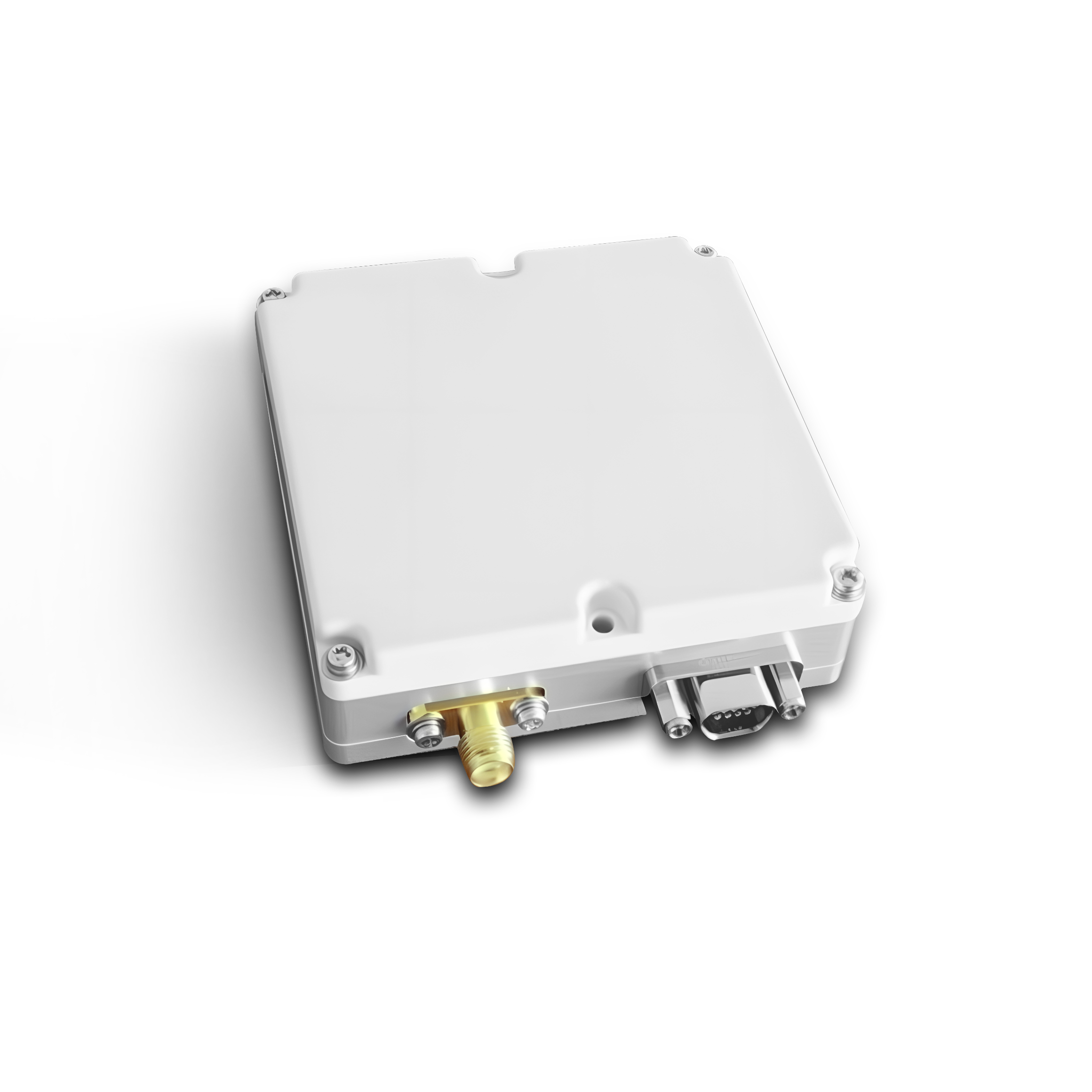 SLA-4B1L1-65
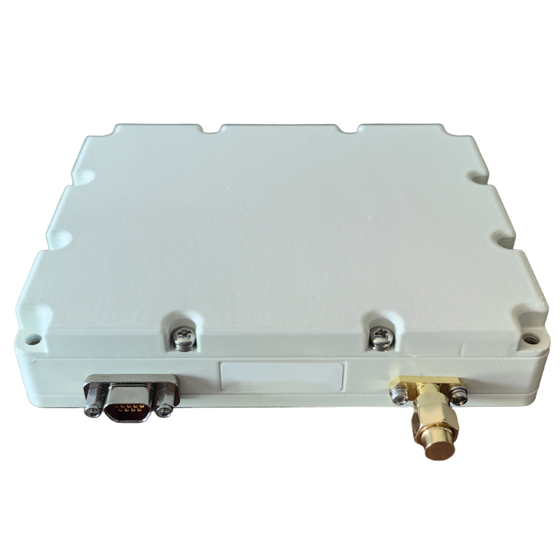 SLA-8B1L1-110
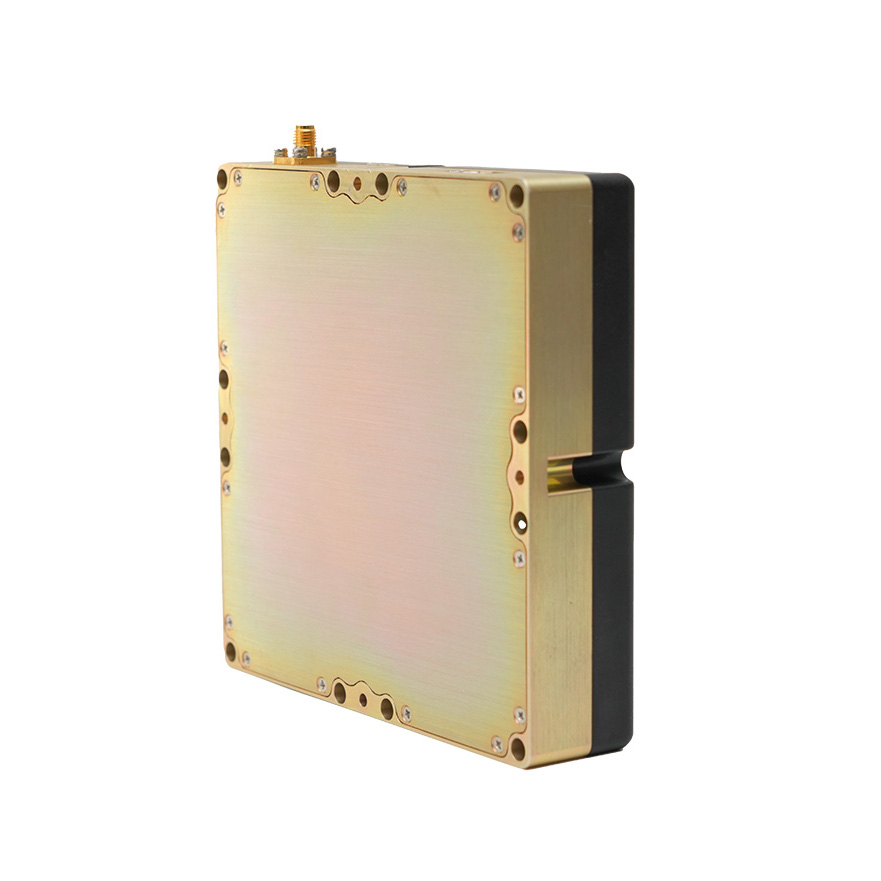 SLA-4B1L1-130
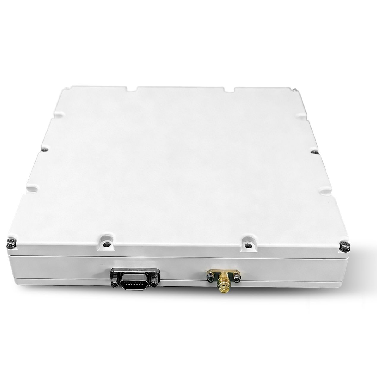 SLA-16B1L1-160
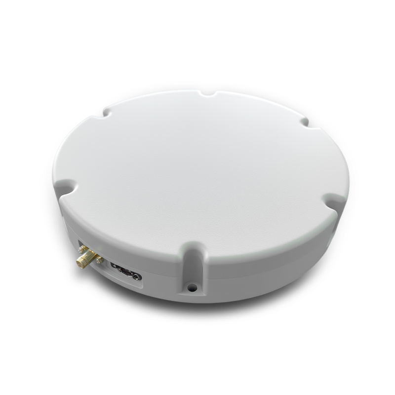 SLA-8B1L1-165
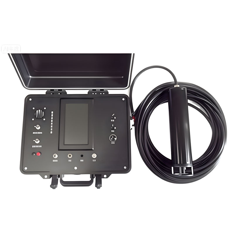 101 Vessel-mounted Positioning
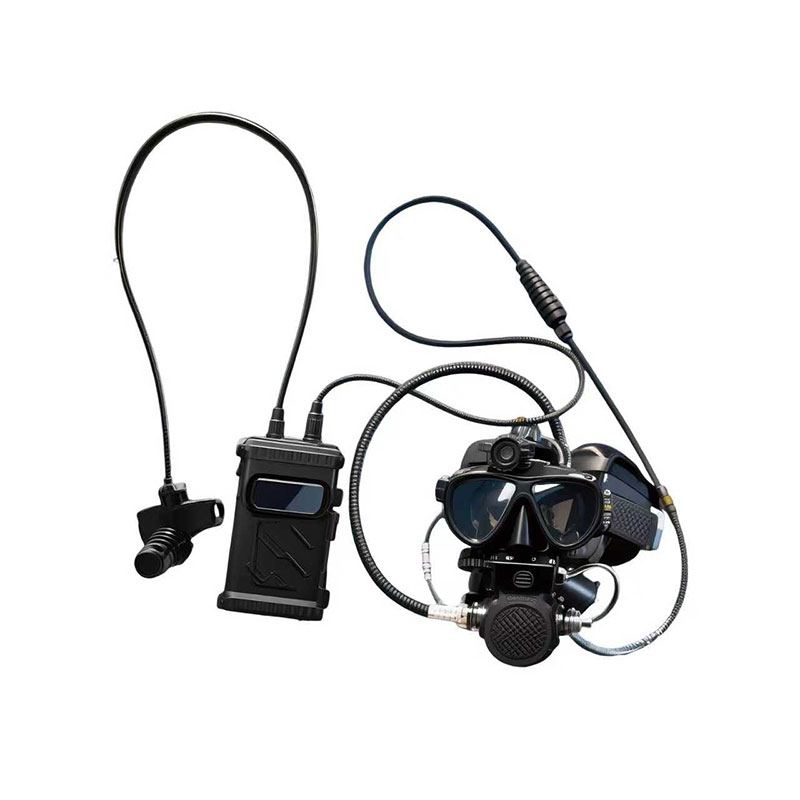 102 Acoustic Communication
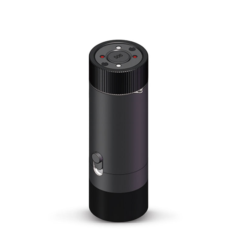 103 Tracking and Locating
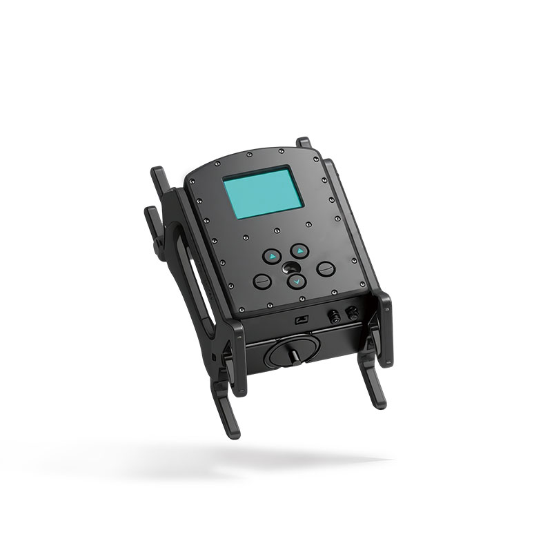 104 Diver Navigation System
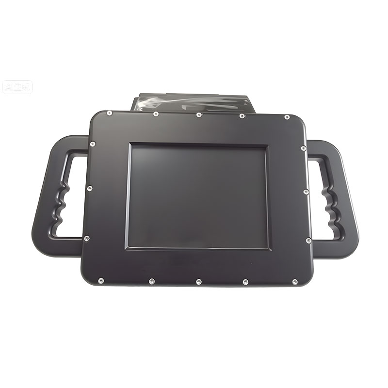 105 Intrusion Detection Sonar
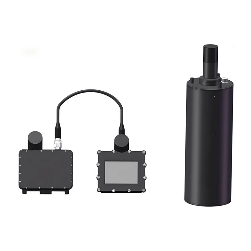 106 Delivery Locator Beacon
 SLLR3000
 SLLR905
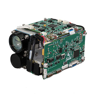 SLLD25
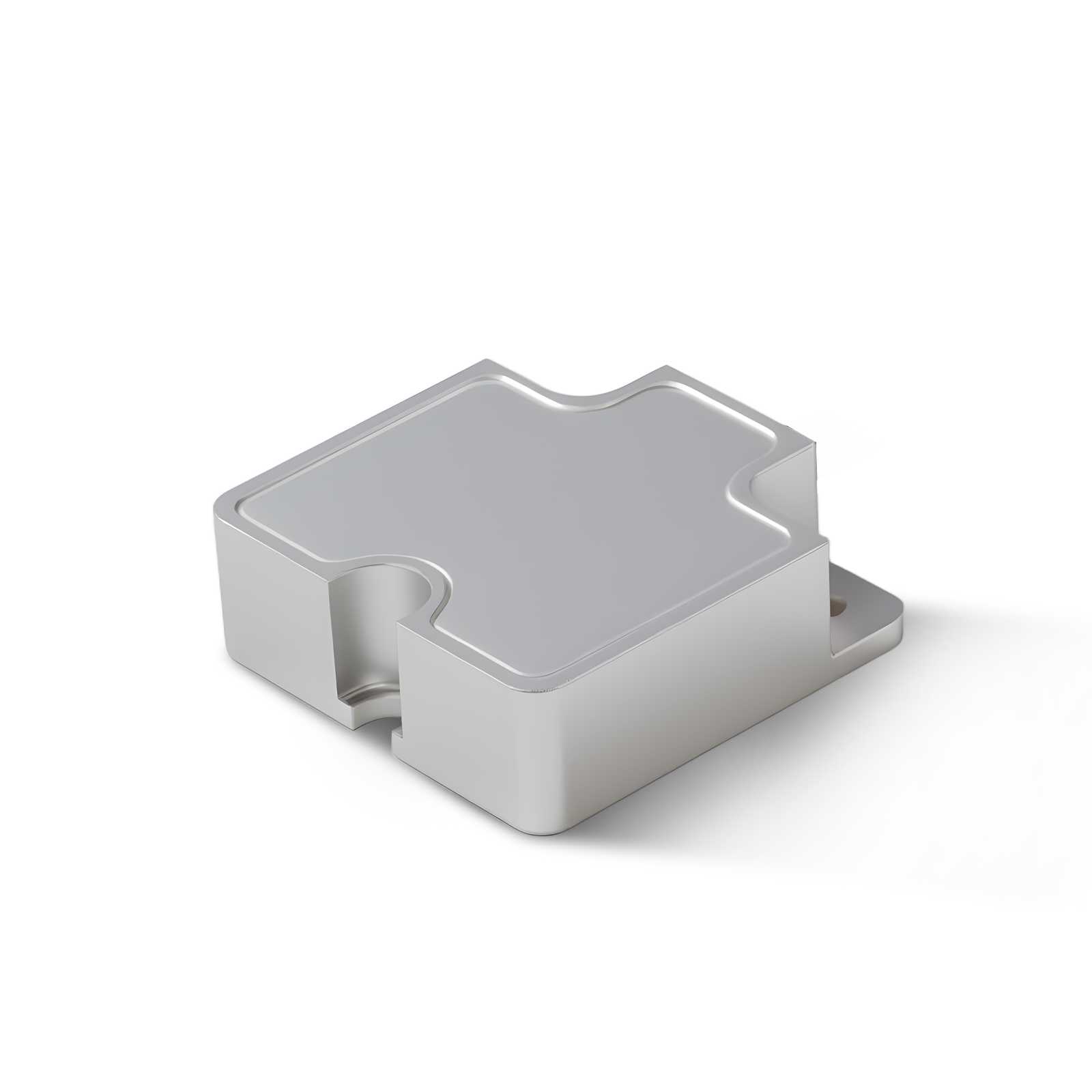 108IMU
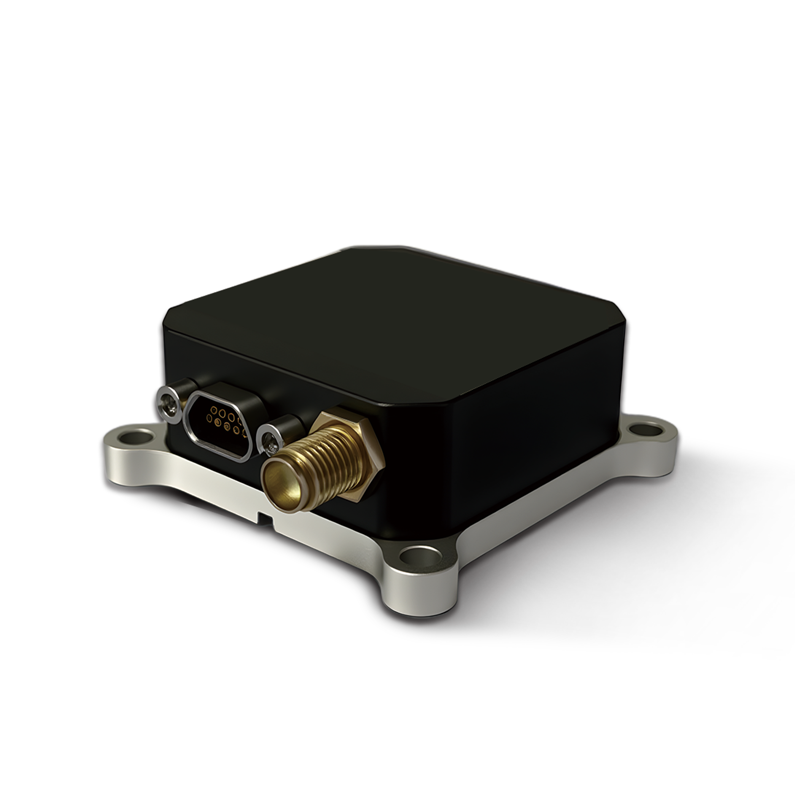 150M
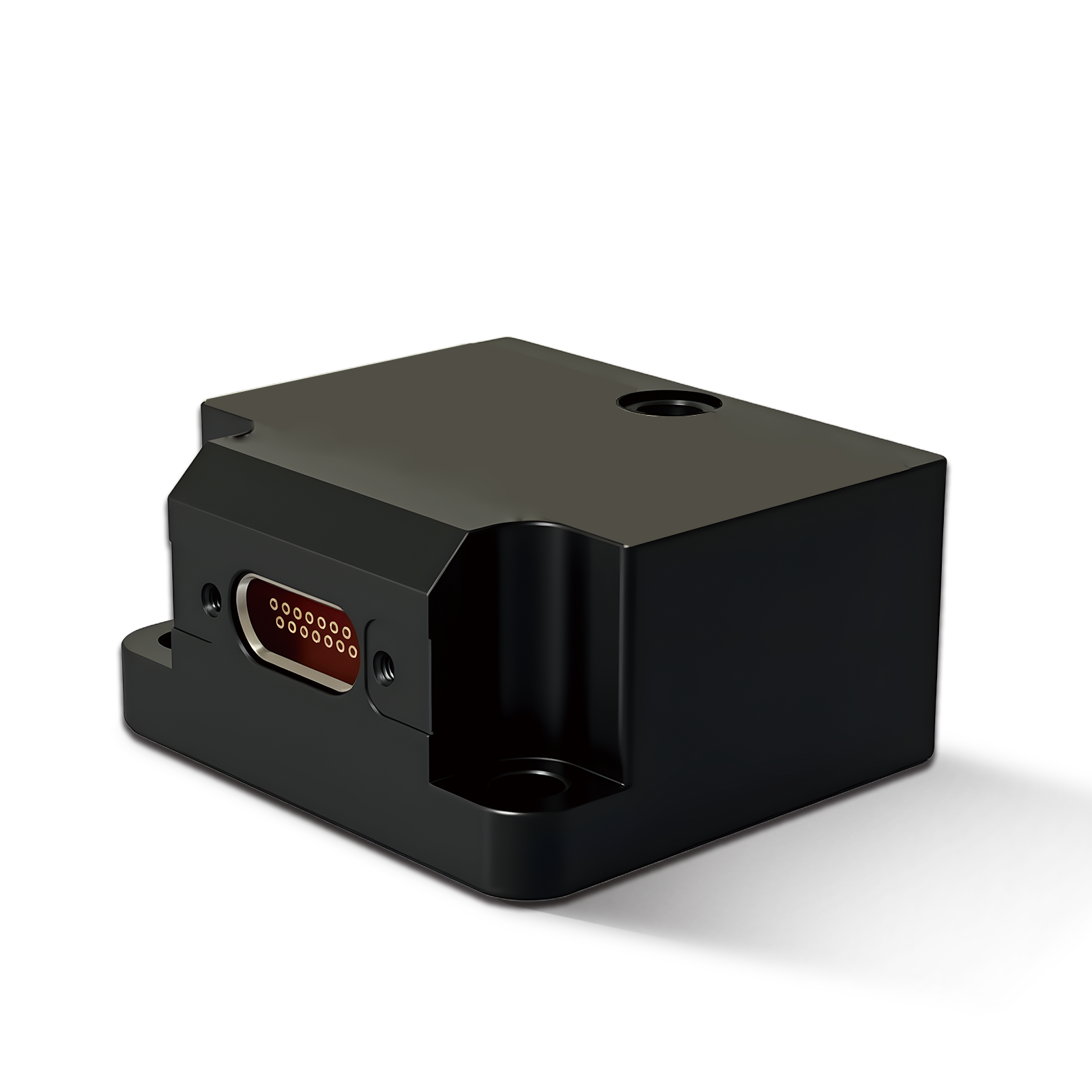 500MH
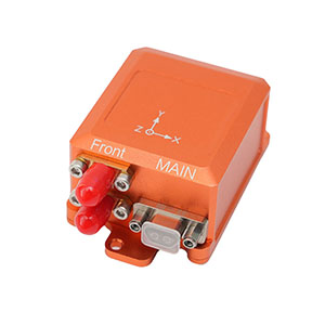 160M
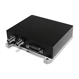 170M
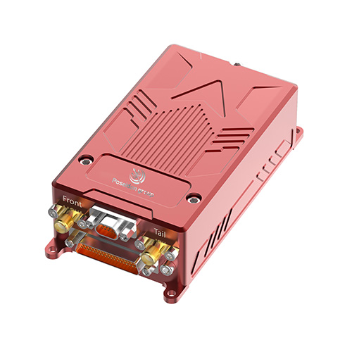 SLFC-70
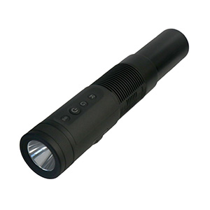 SLAF280
 MR360







INS570 for Marine Navigation: Turning Sensor Data into Position
Marine navigation systems need to do more than provide a position on a map. They must continue to provide useful information when a vessel changes speed, turns, loses satellite signals, or operates in an environment where external sensors are required.
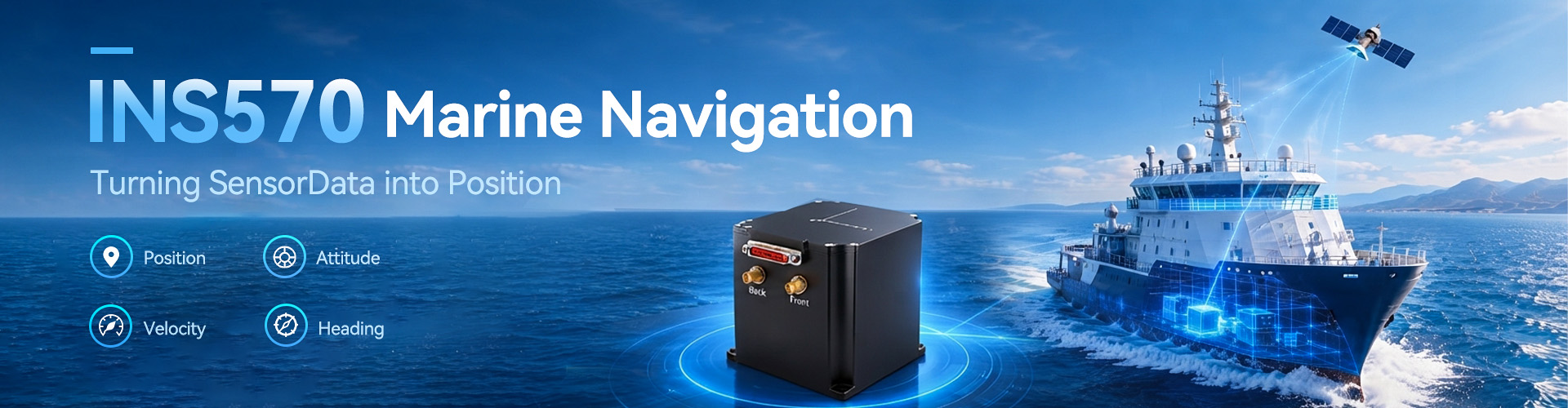
This is where an integrated navigation system such as INS570 can become useful. Poseidon INS570 combines fiber optic gyroscopes, quartz flexure accelerometers, and multi-system satellite navigation in one navigation architecture. It can provide real-time heading, attitude, velocity, position, angular rate, and acceleration data.
For B2B buyers, the value of an integrated system lies not only in individual sensor specifications, but also in how those sensors work together.
Combining GNSS With Inertial Measurement
GNSS provides highly useful positioning information, but a navigation platform may also need continuous motion and attitude data.
INS570 combines inertial sensing with GPS, BDS, GLONASS, and Galileo. This multi-system approach gives engineers more options when designing navigation equipment for vehicles, marine platforms, UAVs, aerospace systems, and engineering surveying.
For a marine navigation project, this combination can reduce the need to manage separate positioning and inertial components.
Instead of evaluating a GNSS receiver and an inertial sensor as completely independent products, engineers can evaluate how the integrated navigation unit fits into the complete system.
Real-Time Data for Dynamic Platforms
Marine platforms are constantly moving.
A vessel may change heading, speed, or attitude while navigating through open water or performing surveying work. A navigation system therefore needs to provide more than latitude and longitude.
INS570 provides real-time information including heading, attitude, velocity, position, angular rate, and acceleration. This allows the navigation system to support both movement monitoring and platform orientation.
For system integrators, this can be particularly useful when navigation data must be passed to other equipment such as control systems, surveying systems, or external positioning sensors.
External Sensors Add More Flexibility
Different marine applications can have very different navigation requirements.
A survey vessel may use additional positioning equipment, while an autonomous marine vehicle may need another sensor to improve navigation performance.
INS570 supports external sensors including odometers, DVL, and USBL.
This gives engineers additional options when building an integrated navigation architecture.
For B2B procurement teams, external sensor compatibility should be considered early. A navigation system may look suitable on paper but create additional engineering work if it cannot communicate with the sensors already used by the platform.
Accuracy Depends on the Complete System
According to the product information, INS570 has a compact 80mm × 80mm × 84mm design and a listed weight of 850g. The page also specifies heading accuracy of ≤0.1° and attitude accuracy of ≤0.02°.
However, buyers should avoid evaluating these numbers in isolation.
The actual requirements depend on vessel type, operating environment, motion profile, sensor configuration, and the navigation algorithm used by the final system.
A procurement specification should therefore define the required accuracy under the intended operating conditions rather than simply asking for the highest available specification.
Where INS570 Fits
INS570 is positioned for vehicle navigation, marine navigation, aerospace, UAVs, and engineering surveying. Its combination of GNSS, inertial sensing, and external sensor support gives it a relatively broad application range.
For marine engineering companies, the same navigation architecture can potentially be adapted to different platform requirements.
Poseidon International Group includes INS570 in its integrated inertial navigation portfolio for customers that need combined positioning and motion information.
What Should B2B Buyers Check?
Before purchasing an INS570 navigation system, buyers should review several areas:
- Required heading and attitude accuracy
- GNSS systems that need to be supported
- GNSS-loss performance
- External sensor compatibility
- Physical dimensions and weight
- Communication interfaces
- Operating temperature
- Data output and update requirements
These factors can help engineering and procurement teams evaluate the system against the actual platform instead of relying only on headline specifications.
Conclusion
Modern marine navigation is increasingly based on the combination of multiple sources of information.
By integrating fiber optic gyroscopes, accelerometers, multi-system GNSS, and external sensor support, INS570 provides a platform-oriented approach to navigation.
For B2B buyers, the key is to evaluate how the complete navigation system fits the vessel, surveying equipment, or autonomous platform. A clear understanding of system requirements can make integration more predictable and help reduce unnecessary engineering changes.