TBSD60
 BSD120
 BSD98
BSD98 BSD70
BSD70 BSD60
BSD60 BSD50
BSD50 BSD217
 INS1700
 INS970
 INS570
 INS170
 SLA-4B1L1-65
 SLA-4B1L1-130
 SLA-8B1L1-165
 DIVER 101
 DIVER 102
 DIVER 103
 DIVER 104
 DIVER 105
 DIVER 106
 SLLR3000
 SLLR905
 SLLD25
 160M
160M 170M
170M SLFC-70
 SLAF280
 MR360
MR360
Leave Your Message
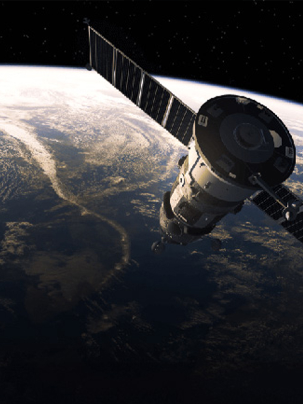
Explore our top-tier inertial navigation systems optimized for crustal deformation monitoring and seismic activity tracking.
The integration of Inertial Guidance GPS for Seismic Monitoring and Geodesy represents a monumental leap forward in our ability to understand, track, and predict the dynamic movements of the Earth's crust. Historically, geodetic surveying and seismic monitoring relied heavily on standalone Global Navigation Satellite Systems (GNSS). However, in the face of deep terrestrial canyons, dense forest canopies, or severe atmospheric interference during major tectonic events, standalone GPS is highly susceptible to signal loss and multipath errors.
This is where Inertial Navigation Systems (INS) equipped with Closed-Loop Fiber Optic Gyroscopes (FOG) and high-grade accelerometers become indispensable. By fusing GPS data with highly autonomous inertial guidance frameworks, geophysical researchers can maintain millimeter-level accuracy even in completely GNSS-denied environments. The commercial and industrial landscape for these technologies is experiencing exponential growth. Driven by government mandates for robust earthquake early warning systems (EEWS) and the expansion of massive infrastructure projects (such as high-speed railways and ultra-deep mining) across active fault lines, the demand for resilient, drift-free positioning sensors has never been higher.
Currently, the global market for high-precision inertial and GNSS systems in geophysics is witnessing a shift towards miniaturization without compromising on tactical-grade accuracy. Industries ranging from petroleum exploration to civil engineering are heavily investing in these hybrid systems. They provide continuous, high-frequency data streams (often exceeding 100Hz) that capture the minutest micro-seismic vibrations—data that is critical for structural health monitoring and tectonic plate velocity mapping.
Poseidon International Group (Hong Kong) Limited — Connecting the World Through High Accuracy Navigation Technology
Based in Hong Kong, we are a global enterprise dedicated to delivering high-quality products and professional services. We have established long-term, stable, and efficient partnerships with numerous suppliers worldwide, ensuring competitive pricing and superior product quality.
How Inertial Guidance GPS transforms theoretical geophysics into actionable, real-time data.
Measuring tectonic drift requires tracking landmasses that move only a few millimeters per year. Traditional GPS can suffer from baseline drift over long periods. By integrating high-precision inertial sensors, geodetic stations can filter out high-frequency noise and atmospheric anomalies, providing an ultra-stable reference frame to measure true continental drift and strain accumulation along fault lines.
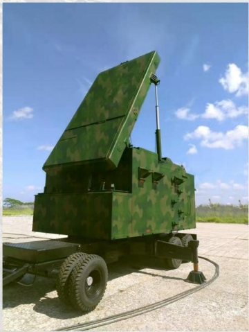
Before a volcanic eruption, the magma chamber expands, causing the surface topography to swell. Deploying Inertial Guidance GPS networks on volcanic slopes allows for 3D continuous monitoring. The INS component ensures that even if volcanic ash clouds disrupt satellite signals, the system continues to record tilt, heave, and acceleration, offering crucial early warnings to surrounding populations.
During a seismic event, understanding how skyscrapers, dams, and bridges react is vital. Inertial GPS units placed at various structural nodes capture 6-Degrees-of-Freedom (6-DOF) dynamic responses. The fusion of GPS positioning with inertial acceleration data allows engineers to reconstruct the exact sway and structural stress in real-time, guiding immediate post-earthquake safety assessments.
Reducing costs by 25%
Improving performance by 20%
Ensuring stable quality and efficiency
Delivering cross-industry solutions from components to full systems
As we look to the future of Inertial Guidance GPS for Seismic Monitoring and Geodesy, several disruptive trends are reshaping the industry. The foremost is the integration of Artificial Intelligence (AI) and Machine Learning (ML) algorithms directly into the edge-computing modules of INS devices. Traditional Kalman filtering, while robust, is being augmented by adaptive neural networks capable of predicting and compensating for sensor drift based on historical environmental data. This means that during a massive seismic event where GPS is entirely lost, the INS can maintain pinpoint accuracy for significantly longer durations.
Another major trend is the transition towards Quantum Inertial Sensors. While currently in the experimental and early commercial phases, quantum accelerometers and gyroscopes promise a future where bias instability is virtually eliminated. For geodesy, this implies that a sensor could be buried deep within a borehole near a subduction zone, completely cut off from the sky, yet provide absolute positioning data for years without needing recalibration.
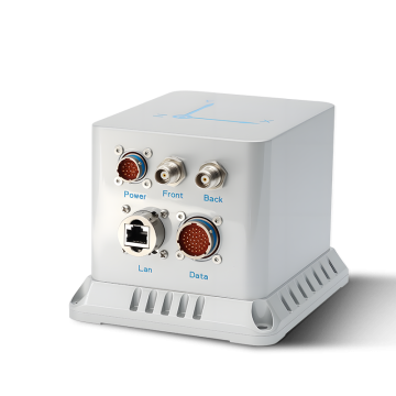
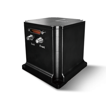
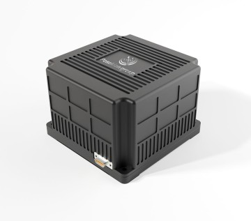
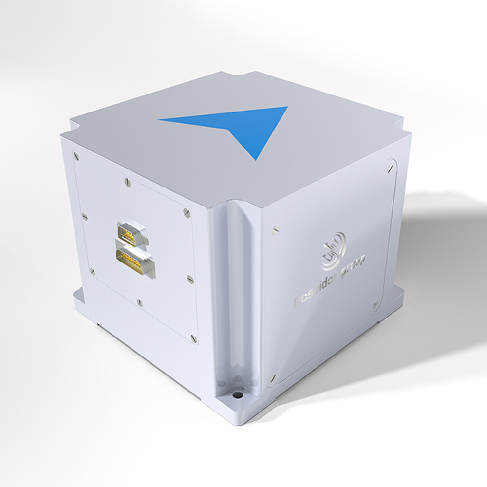
Furthermore, the rise of Unmanned Aerial Vehicles (UAVs) equipped with lightweight Digital INS (like the TBSD60 and BSD98) is revolutionizing post-earthquake topographic mapping. Drones can fly over freshly ruptured fault lines, utilizing tightly coupled GPS/INS to generate centimeter-level accurate 3D point clouds via LiDAR, even amidst the turbulent air currents common over disaster zones. This rapid mapping capability is crucial for geologists assessing slip rates and emergency responders coordinating rescue efforts.
Poseidon International Limited, Hong Kong strives to provide satisfactory products and services to customers from all walks of life.

We provide comprehensive, all-in-one solutions, whether for components, products, systems, or complete project solutions, always ensuring the best value for our clients.

Our experienced team, with deep expertise in international trade, is dedicated to crafting cost-effective solutions tailored to customer needs.

Additionally, through close partnerships with leading logistics providers, we guarantee timely and secure deliveries.
At the heart of our geodetic solutions are Closed-Loop Fiber Optic Gyroscopes (FOG). Unlike traditional mechanical gyros, FOGs utilize the Sagnac effect, measuring the phase shift of light traveling in opposite directions through a coiled optical fiber. This solid-state design means there are no moving parts, rendering the system highly resistant to the violent shocks and vibrations characteristic of seismic events. For seismic monitoring, this translates to unparalleled signal-to-noise ratios when detecting P-waves and S-waves.
The true power, however, lies in Multi-Source Data Fusion. By running the raw inertial data and GPS signals through a deeply coupled Extended Kalman Filter (EKF), the system continuously cross-references the two data streams. If the GPS signal degrades—perhaps due to ionospheric scintillation during a solar storm or physical obstruction—the INS seamlessly takes over the positioning calculations. Simultaneously, when the GPS signal is strong, it bounds the inherent integration drift of the inertial sensors. This symbiotic relationship ensures that geodetic researchers receive a continuous, unbroken dataset, vital for calculating the precise strain accumulation in the Earth's crust.

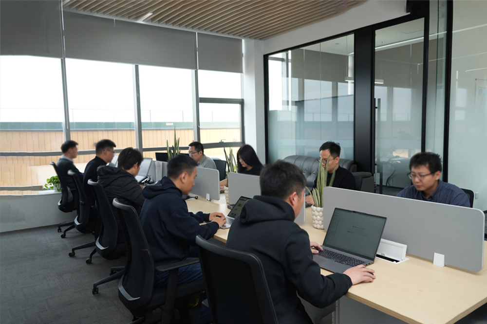
We specialize in the independent research, design, and production of fiber optic gyroscopes (FOG), inertial navigation systems (INS), attitude and control systems, autonomous driving systems, and intelligent control systems for unmanned equipment. By integrating industry-specific requirements, we have made significant technological advancements in digitalization, automation, and intelligence, securing multiple technical patents. With years of experience, we have evolved into a multi-industry intelligent solutions provider with a portfolio of proprietary core technologies.
Our core team comprises seasoned experts with extensive backgrounds in aerospace and inertial navigation. We have successfully tackled critical technological challenges in high-precision GNSS-free navigation, laser measurement, integrated navigation, multi-source data fusion, and precise positioning—areas that were once bottlenecks in the industry.

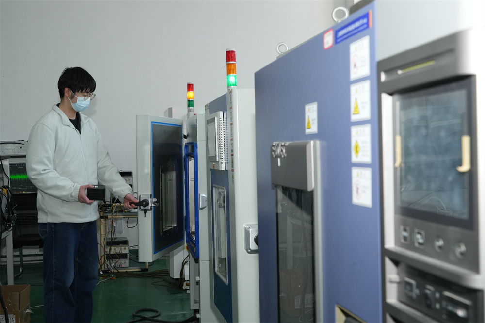
Our products are smaller in size, higher in accuracy, and more stable in performance, featuring long-term dynamic auto-calibration with zero-drift operation. They are widely adopted in scientific research, industrial control, intelligent unmanned systems, high-precision detection, and metrology. Having passed rigorous validation in aviation, aerospace, marine, mining, and railway applications, our solutions have been procured in bulk, filling key technological gaps in China.
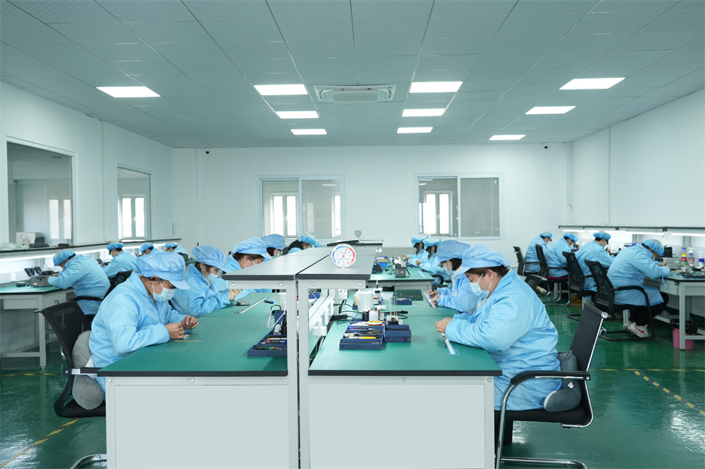
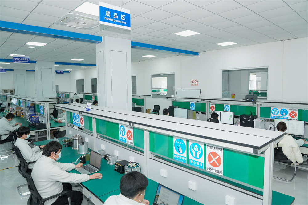
We operate over 6,000-square-meter manufacturing facility in mainland China, equipped with advanced R&D, production, and testing infrastructure, enabling large-scale production and timely delivery. Our network of subsidiaries, offices, and spare parts warehouses across China ensures prompt technical support and after-sales service.
Compared to similar companies, we offer unique advantages:

Creating mutually beneficial relationships with clients and partners.

Commitment to ethical business practices.

Providing clear, one-time offers with no hidden costs.

24/7 service guarantee in all time zones with minimal response time.
Guided by the vision of "Connecting the World through Inertial Navigation", we strive to push the boundaries of navigation technology, aiming to become a leading integrated solutions provider with a broad product portfolio and advanced competencies.
Contact Us!Discover our full range of inertial guidance systems engineered for geophysical research and tectonic monitoring.