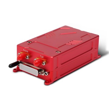
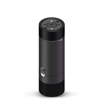
TBSD60
 BSD120
 BSD98
BSD98 BSD70
BSD70 BSD60
BSD60 BSD50
BSD50 BSD217
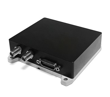
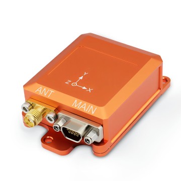
 INS1700
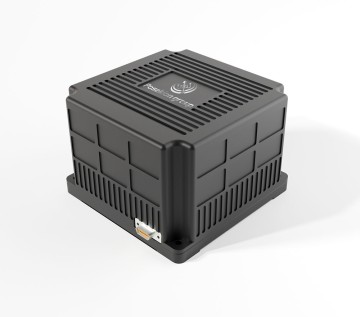
 INS970
 INS570
 INS170
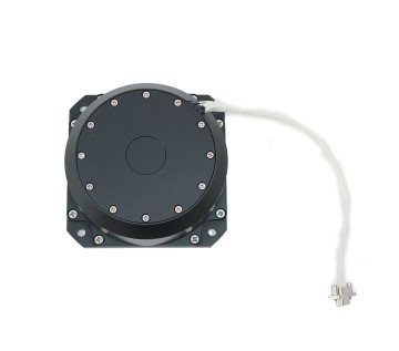
 SLA-4B1L1-65
 SLA-4B1L1-130
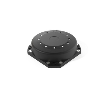
 SLA-8B1L1-165
 DIVER 101
 DIVER 102
 DIVER 103
 DIVER 104
 DIVER 105
 DIVER 106
 SLLR3000
 SLLR905
 SLLD25
 160M
160M 170M
170M SLFC-70
 SLAF280
 MR360
MR360
Leave Your Message
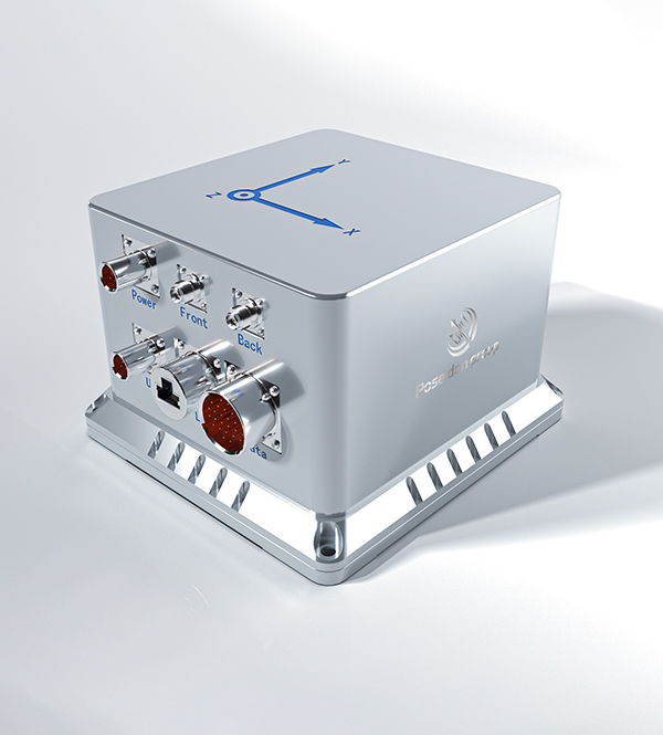
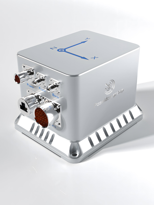
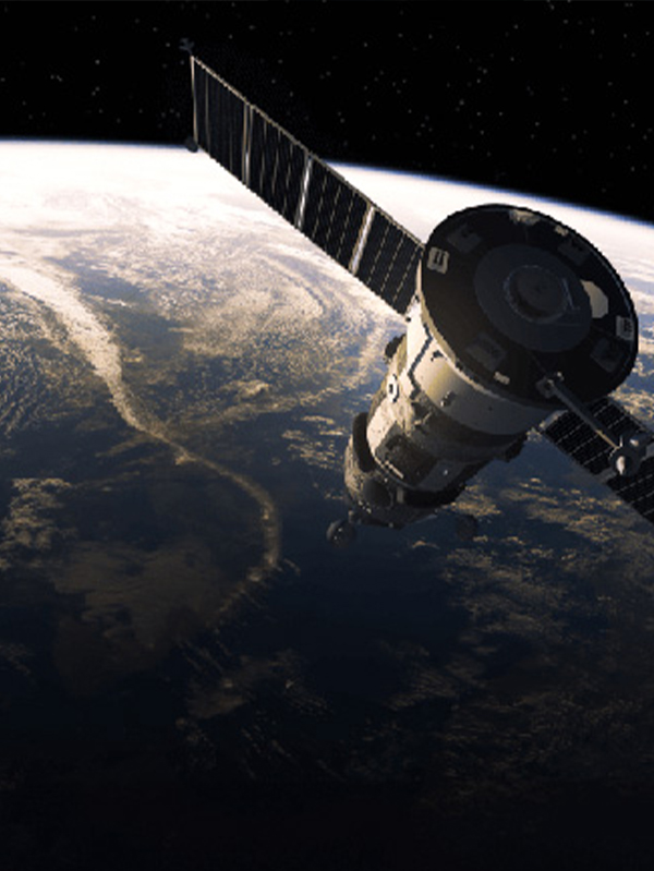
Inertial Navigation Systems (INS) have traditionally been associated with aerospace, defense, and maritime navigation. However, the paradigm is shifting rapidly. Today, an Inertial Nav System for Seismic Monitoring and Geodesy represents the pinnacle of precision measurement technology applied to earth sciences. By utilizing highly sensitive gyroscopes and accelerometers, modern INS can detect the most minute tectonic shifts, gravitational anomalies, and seismic waves without relying on external signals like GNSS (Global Navigation Satellite System).
In geophysics and seismology, researchers constantly battle environmental noise and signal degradation. Traditional seismometers are highly effective but often lack the absolute spatial orientation capabilities required for complex 3D displacement mapping. Here, high-grade Fiber Optic Gyroscopes (FOG) and advanced Micro-Electro-Mechanical Systems (MEMS) step in. They provide continuous, high-frequency data regarding pitch, roll, and yaw, alongside precise linear acceleration. When an earthquake occurs, the initial P-waves (compressional) and subsequent S-waves (shear) create complex rotational ground motions. Standard translational seismometers miss this rotational component, but an advanced INS captures the full six degrees of freedom (6-DoF), offering a revolutionary dataset for seismic source characterization.
Geodetic surveys often take place in dense forests, deep urban canyons, underground mines, or the ocean floor—environments where satellite signals cannot penetrate. An INS operates entirely autonomously. By measuring the Earth's rotation and local gravity vectors, it establishes a true north heading and local level, allowing for continuous mapping of crustal deformations and fault line creeping in the most remote or inaccessible areas on the planet.
The commercial landscape for inertial sensors in structural health monitoring and earth observation is experiencing explosive growth. Historically, the cost of navigation-grade inertial systems restricted their use to military submarines or strategic missiles. Today, breakthroughs in manufacturing, particularly in silicon-based MEMS and closed-loop FOG technologies, have drastically lowered the barrier to entry. This democratization of high-precision sensors has spawned a new industrial sector focused on environmental safety, disaster prevention, and infrastructure resilience.
The primary driver for the adoption of INS in seismic monitoring is the urgent need for early warning systems and real-time structural health monitoring (SHM). Governments and private enterprises are investing heavily in retrofitting critical infrastructure—such as mega-dams, nuclear power plants, suspension bridges, and high-speed rail networks—with interconnected inertial sensor arrays. These systems monitor micro-vibrations 24/7. If a seismic event triggers anomalous structural oscillations, the INS data provides immediate feedback on the building's integrity, allowing for automated shutdown protocols or targeted evacuations.
Furthermore, the oil and gas industry relies heavily on inertial systems for borehole surveying and hydraulic fracturing monitoring. Induced seismicity—small earthquakes caused by fluid injection—must be meticulously tracked to prevent larger, damaging tremors. Downhole INS tools map the precise trajectory of the wellbore and monitor micro-seismic activity in real-time, ensuring regulatory compliance and operational safety.
Volcanic eruptions are preceded by magma chamber expansion, which causes subtle swelling of the volcano's flanks. High-precision INS units, deployed as tiltmeters and gravimeters, track these micro-radians of tilt and micro-g changes in gravity. Unlike GPS, which only gives point-to-point surface displacement, INS provides continuous angular deformation data, allowing volcanologists to model the depth and volume of ascending magma with unprecedented accuracy.
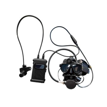
The most devastating tsunamis originate from underwater subduction zones. Deploying traditional GNSS underwater is impossible due to water's attenuation of radio waves. Autonomous Underwater Vehicles (AUVs) equipped with high-grade INS and acoustic communication systems (like the DIVER series) map the seafloor topology. They detect seafloor spreading and fault line creeping, providing crucial data for tsunami early warning models.
In geodesy, understanding the exact shape of the Earth (the geoid) requires mapping gravitational anomalies. Airborne gravimetry utilizes aircraft equipped with ultra-precise INS and GNSS. The INS acts as a stable reference platform and measures the aircraft's dynamic accelerations. By subtracting the aircraft's kinematic acceleration (derived from GNSS) from the total acceleration measured by the INS, scientists can isolate the Earth's local gravity vector. This data is vital for mineral exploration, understanding ocean currents, and establishing global height reference systems.
The future of inertial navigation in earth sciences lies in the integration of Artificial Intelligence (AI) and the development of Quantum sensors. AI algorithms, particularly deep learning networks, are being trained to filter out environmental noise (like traffic or ocean waves) from raw inertial data, isolating true seismic anomalies. Looking further ahead, Cold Atom Interferometry (Quantum INS) promises drift-free navigation and gravitational measurements exponentially more sensitive than current optical or mechanical systems. These quantum sensors will eventually allow us to map subterranean aquifers, magma conduits, and fault stresses from the surface without drilling.
Connecting the World Through High Accuracy Navigation Technology
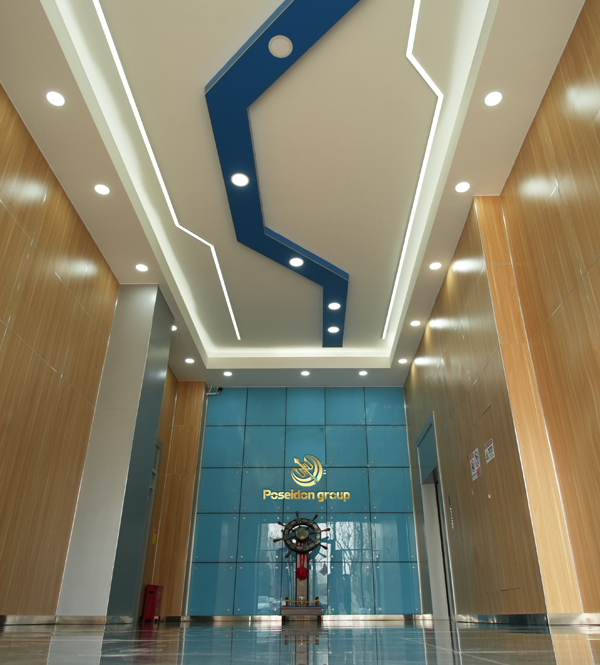
Based in Hong Kong, Poseidon International Group is a global enterprise dedicated to delivering high-quality products and professional services. We have established long-term, stable, and efficient partnerships worldwide, focusing on the independent research, design, and production of fiber optic gyroscopes (FOG), inertial navigation systems (INS), and intelligent control systems.

Core component self-development, reducing overall project costs by 25% while maintaining premium accuracy.
Advanced system algorithms tailored for seismic data, improving performance and noise reduction by 20%.

Ensuring stable quality and efficiency for large-scale sensor array deployments in geological surveys.

Delivering cross-industry solutions from MEMS components to full UAV/AUV mapping systems.

We specialize in the independent research, design, and production of FOG, INS, attitude and control systems, and intelligent control systems for unmanned equipment. By integrating industry-specific requirements for geophysics, we have made significant technological advancements in digitalization and intelligence, securing multiple technical patents.
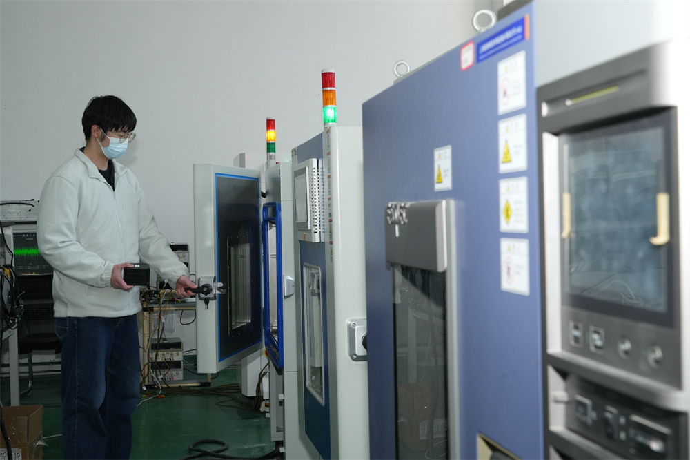
Our core team comprises seasoned experts with extensive backgrounds in aerospace and inertial navigation. We have successfully tackled critical challenges in high-precision GNSS-free navigation, laser measurement, integrated navigation, multi-source data fusion, and precise positioning—crucial for deep-earth and deep-sea seismic monitoring.

Our products are smaller in size, higher in accuracy, and more stable in performance, featuring long-term dynamic auto-calibration with zero-drift operation. They are widely adopted in scientific research, high-precision detection, and metrology, filling key technological gaps in the industry.

Creating mutually beneficial relationships with clients.

Commitment to ethical business practices.

Clear offers with no hidden costs.

24/7 service guarantee in all time zones.
Guided by the vision of "Connecting the World through Inertial Navigation", we strive to push the boundaries of navigation technology, aiming to become a leading integrated solutions provider with a broad product portfolio and advanced competencies.
Contact Us Today!