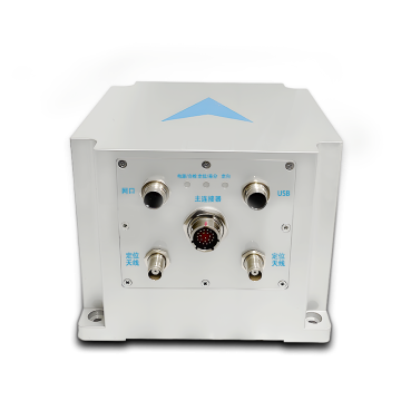
TBSD60
 BSD120
 BSD98
BSD98 BSD70
BSD70 BSD60
BSD60 BSD50
BSD50 BSD217
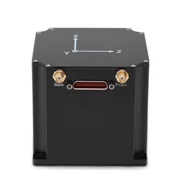
 INS1700
 INS970
 INS570
 INS170
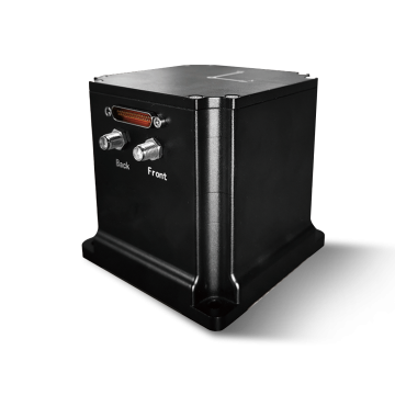
 SLA-4B1L1-65
 SLA-4B1L1-130
 SLA-8B1L1-165
 DIVER 101
 DIVER 102
 DIVER 103
 DIVER 104
 DIVER 105
 DIVER 106
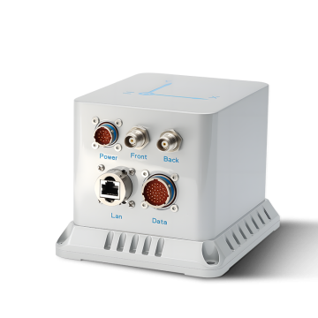
 SLLR3000
 SLLR905
 SLLD25
 160M
160M 170M
170M SLFC-70
 SLAF280
 MR360
MR360
Leave Your Message
The operational paradigm of Subsea Remotely Operated Vehicles (ROVs) and marine survey vessels has undergone a radical transformation over the past decade. As offshore industries push into deeper waters and harsher environments, the reliance on traditional surface-level GPS/GNSS becomes obsolete the moment an asset breaches the water's surface. This is where Space Integrated GPS INS (Inertial Navigation Systems) bridge the critical gap. By initializing highly accurate spatial coordinates at the surface via satellite constellations and seamlessly transitioning to autonomous, dead-reckoning inertial sensors underwater, these systems provide uninterrupted, pinpoint accuracy.
Commercially, the global market for underwater robotics and marine surveying equipment is experiencing exponential growth. Driven by the expansion of offshore renewable energy, deep-sea mining exploration, and the maintenance of aging subsea oil and gas infrastructure, operators are demanding navigation solutions that offer zero-drift performance. The integration of Closed-Loop Fiber Optic Gyroscopes (FOG) with advanced micro-electromechanical systems (MEMS) accelerometers has democratized high-precision navigation, moving it from exclusive military applications to widespread commercial industrial use.
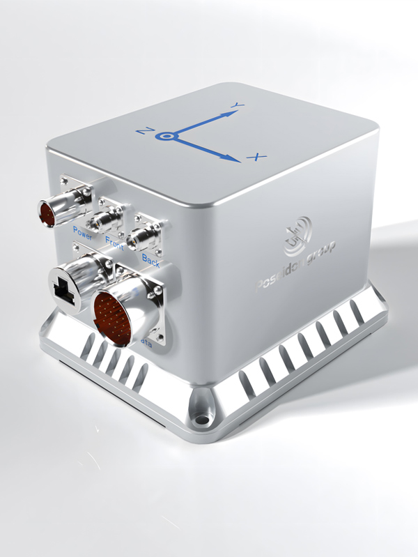
Today's marine survey operations require centimeter-level accuracy to map the seafloor, identify hazards, and guide the robotic arms of work-class ROVs. A Space Integrated GPS INS acts as the central nervous system for these operations. It fuses data from Doppler Velocity Logs (DVL), Ultra-Short Baseline (USBL) acoustic positioning, and depth sensors through complex Kalman filtering algorithms. This multi-sensor fusion ensures that even in completely GPS-denied environments—such as deep ocean trenches or beneath thick ice shelves—the ROV maintains absolute spatial awareness.
Connecting the World Through High Accuracy Navigation Technology
Based in Hong Kong, we are a global enterprise dedicated to delivering high-quality products and professional services. We have established long-term, stable, and efficient partnerships with numerous suppliers worldwide, ensuring competitive pricing and superior product quality. Our commitment to excellence drives us to continuously innovate in the field of inertial navigation, providing robust solutions for complex marine and aerospace applications.

Reducing costs by 25%
Improving performance by 20%

Ensuring stable quality

Cross-industry solutions
The deployment of Space Integrated GPS INS technology has unlocked unprecedented capabilities across various marine sectors. By providing robust, anti-jamming, and continuous positioning data, these systems are at the heart of modern subsea operations. Let us explore the most critical industrial applications where this technology is currently making a profound impact.
The global network of subsea telecommunication cables and oil pipelines stretches for millions of kilometers. Maintaining this infrastructure requires regular, highly precise inspections. ROVs equipped with FOG-based INS can autonomously track the trajectory of pipelines buried beneath the seabed. Because GPS signals cannot penetrate the water column, the INS relies on its initial surface synchronization and internal gyroscopes to map the pipeline's exact coordinates. This prevents costly misalignments during repair operations and ensures environmental safety by rapidly pinpointing micro-fractures before they become catastrophic leaks.
The transition to renewable energy has spurred massive investments in offshore wind farms. Constructing these colossal structures involves laying foundations (monopiles or jackets) in highly dynamic marine environments with strong underwater currents. Subsea ROVs utilize integrated INS to monitor the exact pitch, roll, and heading of the foundations during the lowering process. The integration of surface GNSS data with subsea inertial tracking ensures that turbines are installed within millimeter tolerances, which is critical for the structural integrity and long-term energy output of the wind farm.
Marine surveying vessels mapping the topography of the ocean floor rely heavily on multibeam echosounders (MBES). However, the accuracy of the sonar data is entirely dependent on the vessel's motion reference unit (MRU). A Space Integrated INS provides real-time heave, pitch, roll, and heading compensation. When deployed on an Autonomous Underwater Vehicle (AUV) or ROV, the INS allows the sonar to capture crisp, high-resolution 3D bathymetric models without the blurring effects caused by wave motion or underwater turbulence. This data is vital for safe navigation charting and subsea resource exploration.
Scientific research in polar regions or the Mariana Trench presents the ultimate navigational challenge. Under solid ice, surfacing for a GPS fix is impossible, and acoustic positioning (USBL) from a mother ship is often blocked or severely distorted by thermoclines. In these extreme GPS-denied scenarios, high-end INS systems with ultra-low drift rates are the only viable solution. They enable ROVs to navigate complex underwater ice caves or abyssal plains for hours, collecting biological samples and geological data before safely returning to their docking stations.
Poseidon International Limited, Hong Kong strives to provide satisfactory products and services to customers from all walks of life.

We provide comprehensive, all-in-one solutions, whether for components, products, systems, or complete project solutions, always ensuring the best value for our clients.

Our experienced team, with deep expertise in international trade, is dedicated to crafting cost-effective solutions tailored to customer needs.

Additionally, through close partnerships with leading logistics providers, we guarantee timely and secure deliveries.
The hardware architecture of a modern Marine Survey INS is a marvel of engineering. At its core, the system utilizes the Sagnac effect within kilometers of coiled optical fiber to detect the minute rotational movements of the Earth and the vehicle itself. However, hardware alone is no longer sufficient. The current development trend is heavily leaning towards Artificial Intelligence (AI) and Machine Learning (ML) integration.
AI algorithms are now being trained to predict and compensate for sensor drift in real-time. By analyzing historical mission data, the neural networks within the INS can identify the specific noise profiles generated by ROV thrusters, acoustic interference, or varying water temperatures. This active error mitigation extends the duration an ROV can operate autonomously in a GPS-denied environment without needing surface recalibration. Furthermore, the integration of Low Earth Orbit (LEO) satellite communications is revolutionizing the initial surface alignment phase. LEO satellites provide stronger, faster, and more secure positioning signals compared to traditional MEO (Medium Earth Orbit) GNSS, significantly reducing the vulnerability to signal jamming or spoofing in contested maritime zones.
Looking ahead, the industry is moving towards the deployment of Swarm ROVs. Instead of relying on a single, massive, tethered vehicle, operators will deploy dozens of smaller, interconnected autonomous submersibles. These swarms will require miniaturized, low-power Space Integrated INS units that can share spatial data acoustically, creating a collaborative underwater mesh network. This will exponentially increase the speed and efficiency of marine surveys, seabed mapping, and environmental monitoring.
Investing in high-grade Space Integrated GPS INS technology yields a substantial Return on Investment (ROI) for marine operators. Traditional underwater navigation errors often result in overlapping survey lines (wasted fuel and time) or the inability to locate subsea assets on the first attempt. By utilizing zero-drift FOG INS systems, survey vessels can increase their line-spacing efficiency by up to 30%. For deep-water drilling and construction, the ability to maintain precise station-keeping without tethered surface support drastically reduces the daily operational costs of mother ships. In essence, advanced navigation technology is not just an operational requirement; it is a fundamental driver of profitability and sustainability in the blue economy.

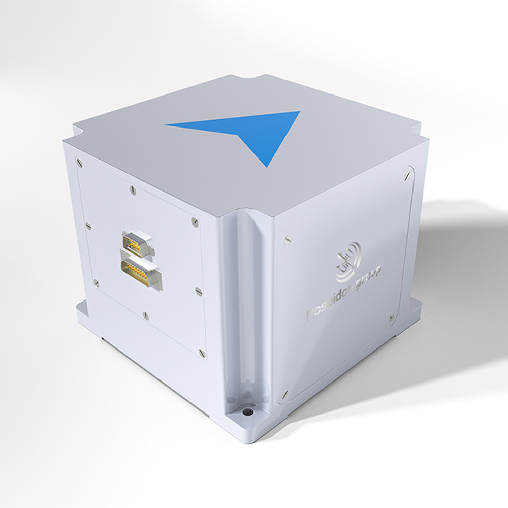
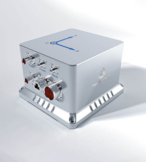
We specialize in the independent research, design, and production of fiber optic gyroscopes (FOG), inertial navigation systems (INS), attitude and control systems, autonomous driving systems, and intelligent control systems for unmanned equipment. By integrating industry-specific requirements, we have made significant technological advancements in digitalization, automation, and intelligence, securing multiple technical patents. With years of experience, we have evolved into a multi-industry intelligent solutions provider with a portfolio of proprietary core technologies.
Our core team comprises seasoned experts with extensive backgrounds in aerospace and inertial navigation. We have successfully tackled critical technological challenges in high-precision GNSS-free navigation, laser measurement, integrated navigation, multi-source data fusion, and precise positioning—areas that were once bottlenecks in the industry.


Our products are smaller in size, higher in accuracy, and more stable in performance, featuring long-term dynamic auto-calibration with zero-drift operation. They are widely adopted in scientific research, industrial control, intelligent unmanned systems, high-precision detection, and metrology. Having passed rigorous validation in aviation, aerospace, marine, mining, and railway applications, our solutions have been procured in bulk, filling key technological gaps in China.

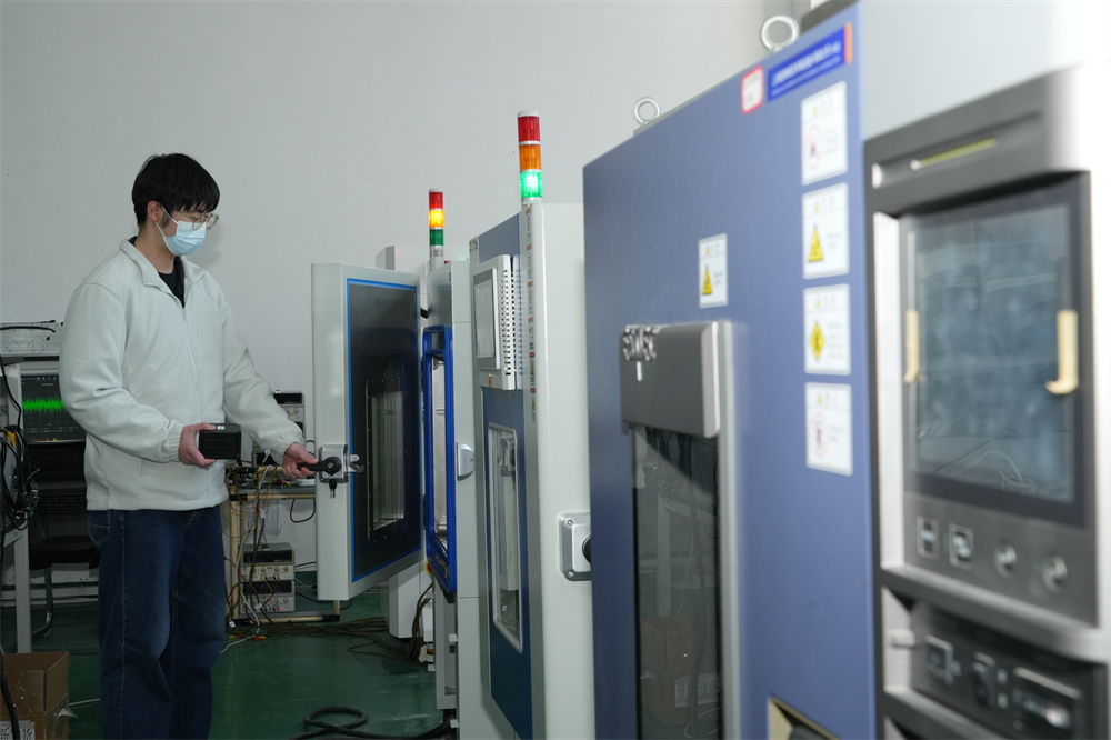
We operate over 6,000-square-meter manufacturing facility in mainland China, equipped with advanced R&D, production, and testing infrastructure, enabling large-scale production and timely delivery. Our network of subsidiaries, offices, and spare parts warehouses across China ensures prompt technical support and after-sales service.
Compared to similar companies, we offer unique advantages for marine and aerospace applications:

Creating mutually beneficial relationships with clients and partners.

Commitment to ethical business practices.

Providing clear, one-time offers with no hidden costs.

24/7 service guarantee in all time zones with minimal response time.
Guided by the vision of "Connecting the World through Inertial Navigation", we strive to push the boundaries of navigation technology, aiming to become a leading integrated solutions provider with a broad product portfolio and advanced competencies.
Contact Us!