
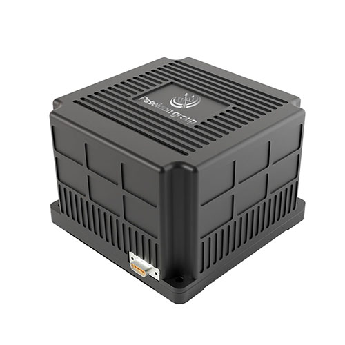
 TBSD60
 BSD120
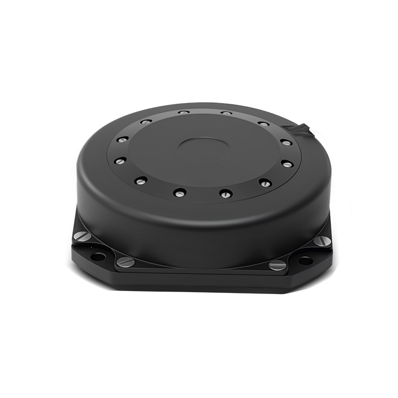 BSD98
BSD98 BSD70
BSD70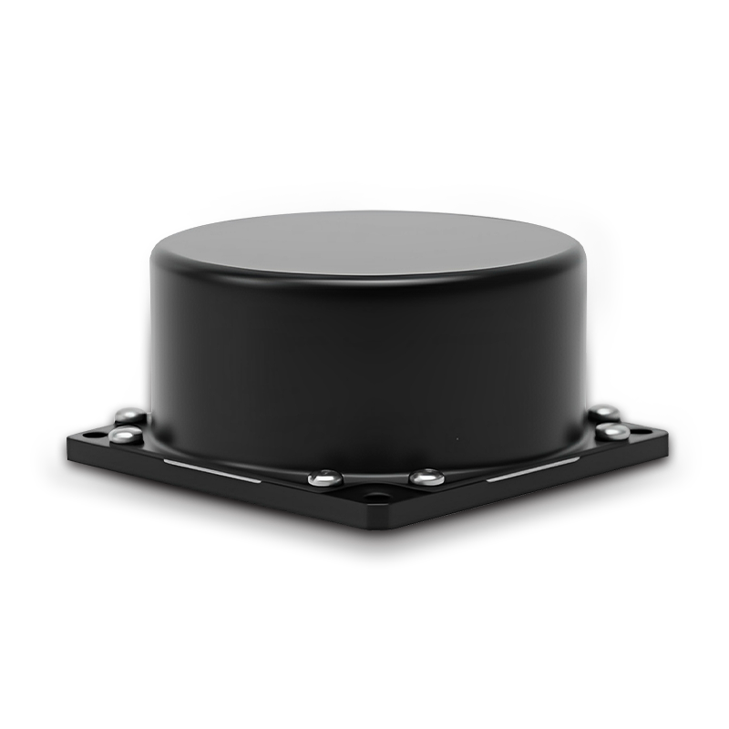 BSD60
BSD60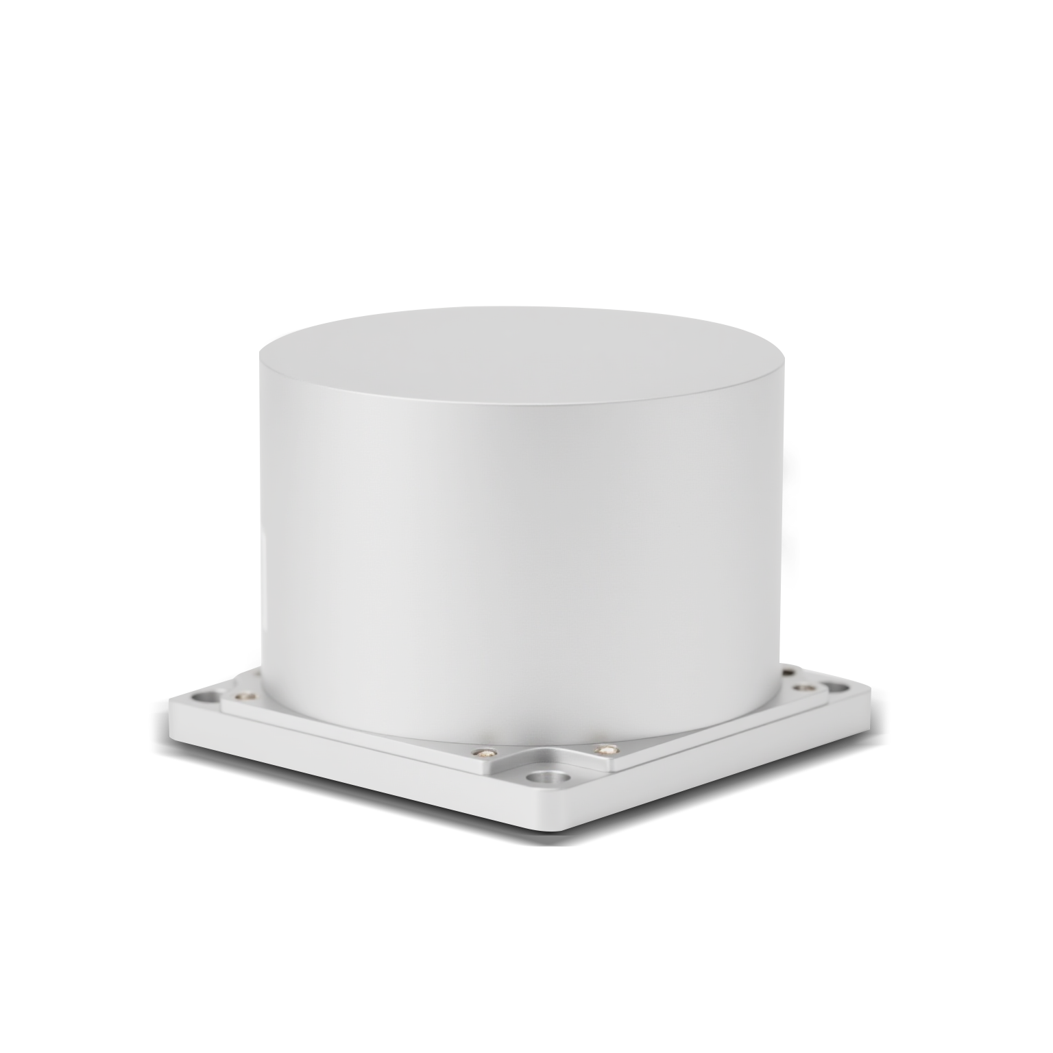 BSD50
BSD50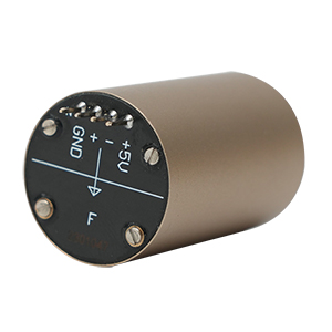 BSD217
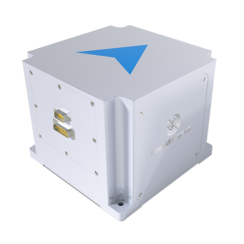 INS1700
 INS970
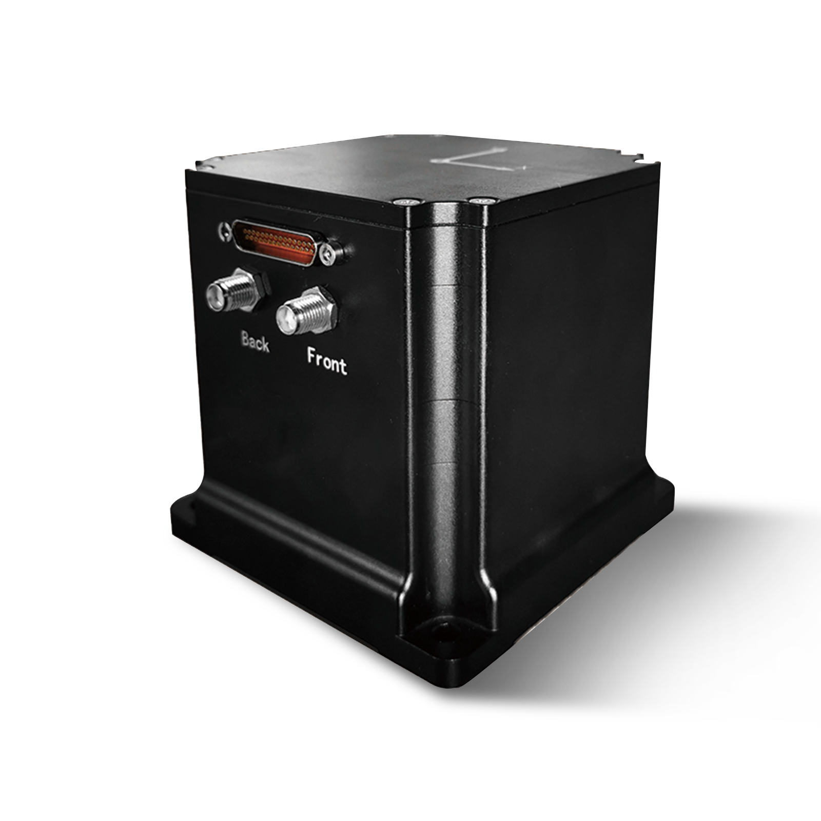 INS570
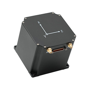 INS170
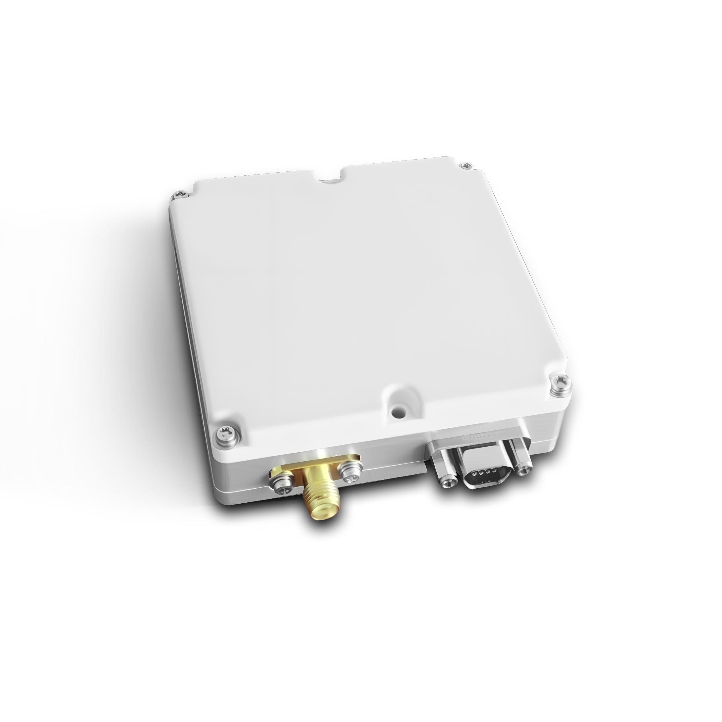 SLA-4B1L1-65
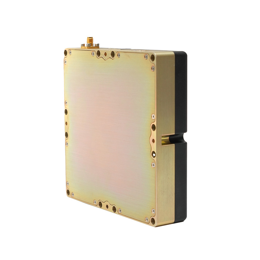 SLA-4B1L1-130
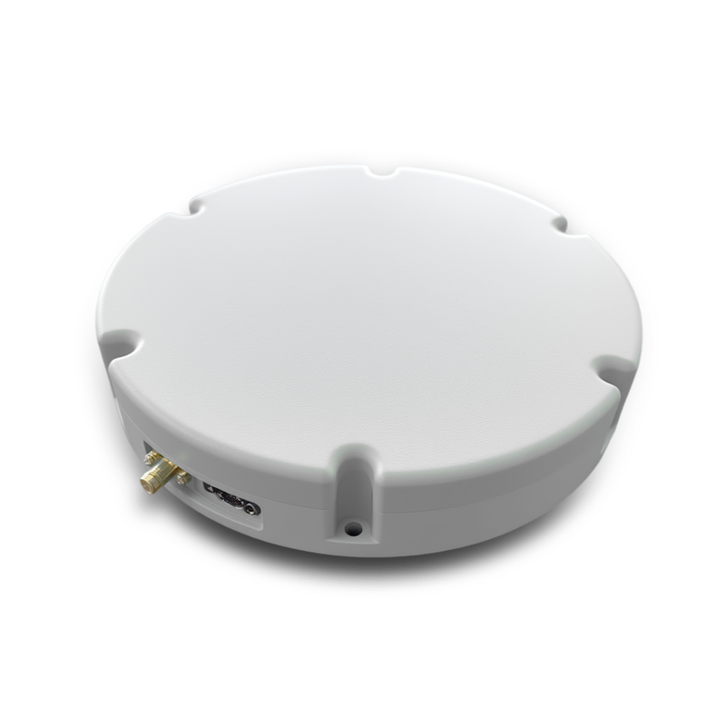 SLA-8B1L1-165
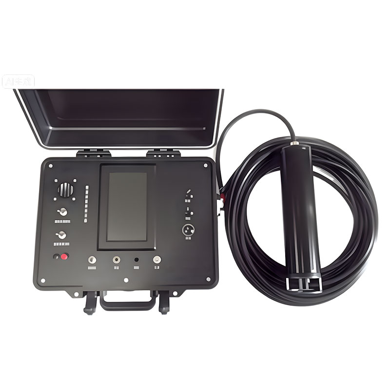 DIVER 101
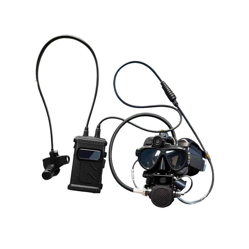 DIVER 102
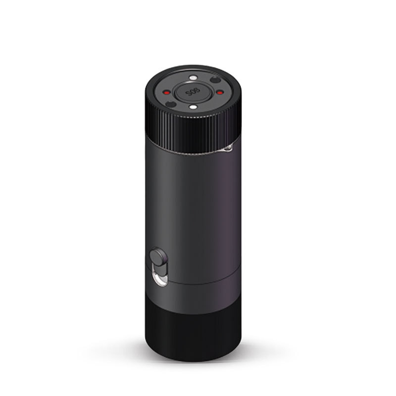 DIVER 103
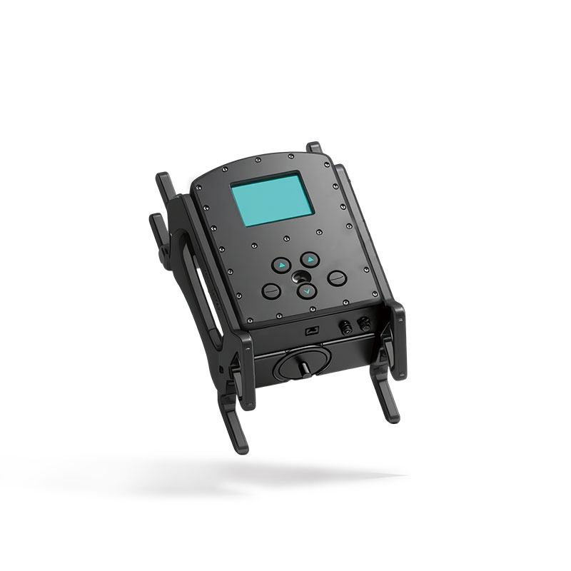 DIVER 104
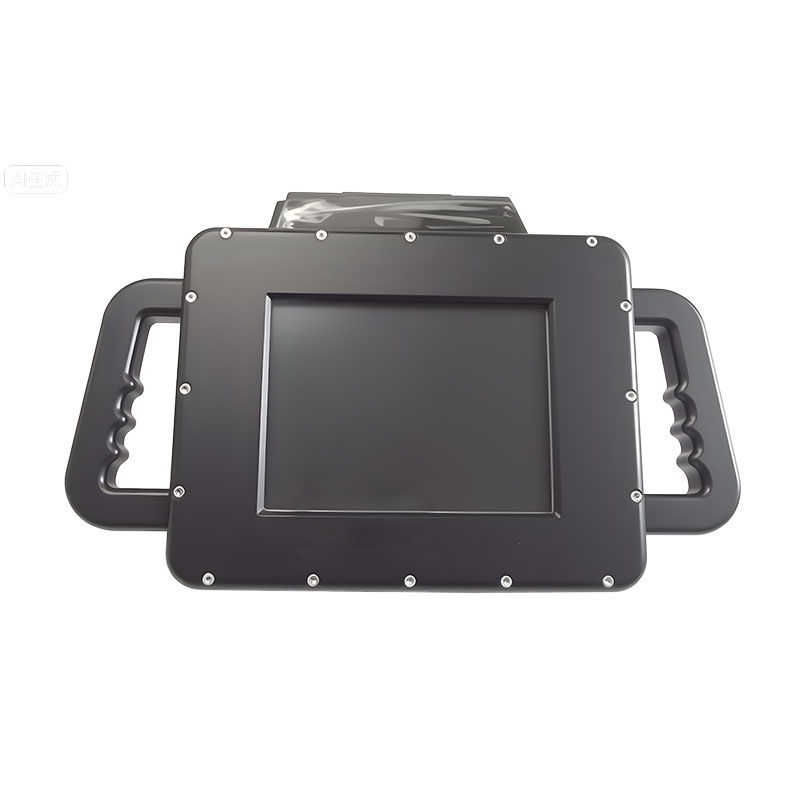 DIVER 105
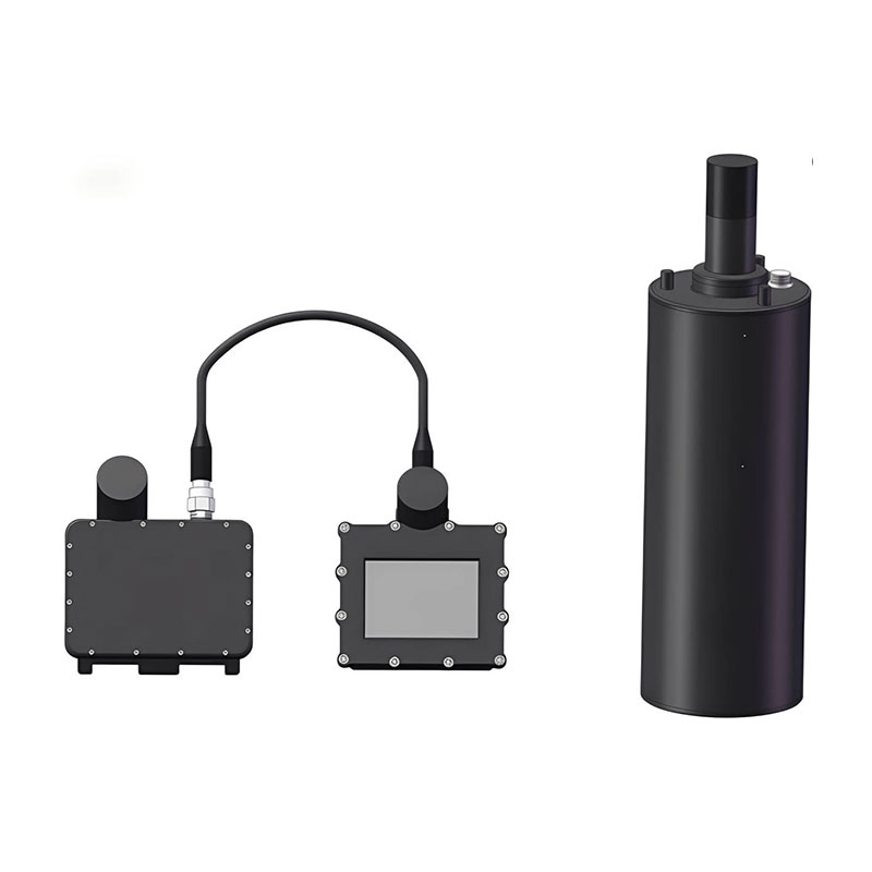 DIVER 106
 SLLR3000
 SLLR905
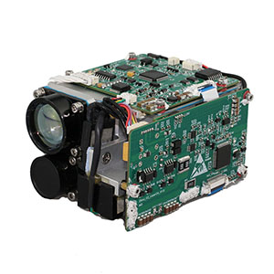 SLLD25
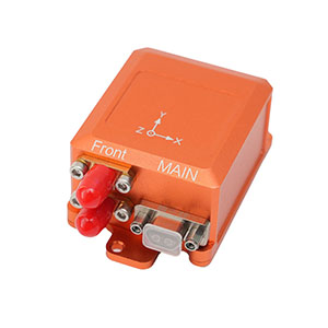 160M
160M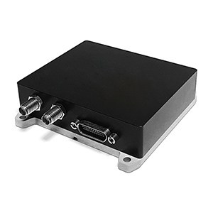 170M
170M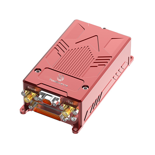 SLFC-70
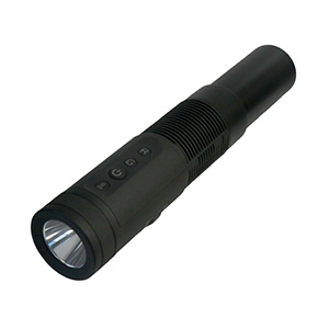 SLAF280
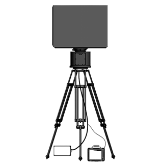 MR360
MR360





Top OEM Manufacturers & Suppliers of Drone Inertial Navigation Systems
As a leading manufacturer of Drone Inertial Navigation Systems, we specialize in providing high-quality solutions tailored for OEM and supplier needs. Our advanced systems ensure precise navigation and exceptional performance, making them ideal for a variety of applications, from aerial surveying to precision agriculture, I understand that reliability is crucial for your projects, and that’s why our products are rigorously tested to meet the highest industry standards. Partnering with us, you gain access to innovative technology that enhances the accuracy of your drone operations, Based in Hong Kong, we take pride in our commitment to customer satisfaction and support. Our team is always ready to collaborate and customize solutions that align with your specific requirements. Whether you’re an OEM seeking reliable components or a supplier looking for long-term partnerships, we’ve got the expertise you need. Let’s take your drone capabilities to new heights together!

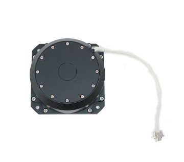
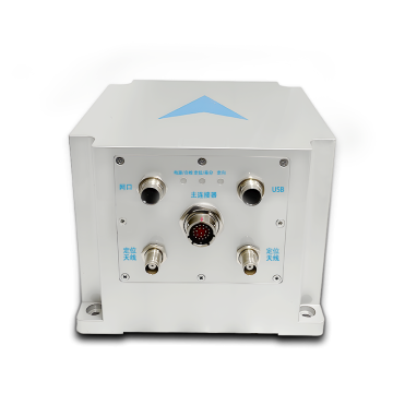
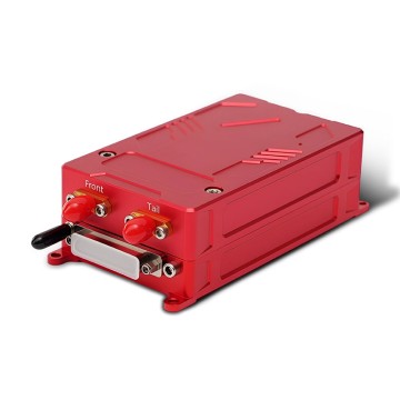
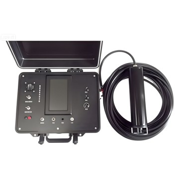
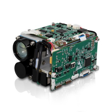
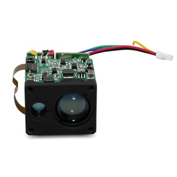
Top 10 Drone Inertial Navigation System Is The Best Global Reach
In the rapidly evolving field of unmanned aerial vehicles (UAVs), the integration of cutting-edge inertial navigation systems (INS) is pivotal to enhancing operational efficiency and reliability. As global demand for drones continues to surge across various industries, from agriculture to logistics and beyond, the need for accurate and dependable navigation technology has never been more critical. Among the top contenders in this domain, systems equipped with fiber optic gyroscope (FOG) technology stand out due to their high precision, low drift rate, and robustness in dynamic environments.
These advanced systems leverage innovative design and rigorous testing to deliver superior performance metrics, making them essential for applications that require real-time positioning and stability. Whether used in aerial mapping, search and rescue missions, or autonomous inspections, the best drone inertial navigation systems ensure that UAVs can navigate challenging terrains with confidence, even in GPS-denied environments. For global buyers, investing in high-quality INS will provide a competitive edge, facilitating safer and more efficient operations.
As we look to the future, the trajectory of drone technology suggests a continued reliance on sophisticated navigation solutions. Companies seeking to enhance their UAV offerings should prioritize cooperation with manufacturers that excel in research and development within this niche. By embracing the latest advancements in INS, businesses can not only drive innovation but also meet the increasingly complex demands of an expanding clientele worldwide.
Top 10 Drone Inertial Navigation System Is The Best Global Reach
| Rank | Model | Accuracy (m) | Weight (g) | Operating Temperature (°C) | Price (USD) |
|---|---|---|---|---|---|
| 1 | Model A | 0.5 | 300 | -20 to 60 | 1500 |
| 2 | Model B | 0.6 | 280 | -10 to 50 | 1200 |
| 3 | Model C | 0.4 | 320 | -30 to 55 | 1800 |
| 4 | Model D | 0.7 | 350 | -20 to 60 | 1600 |
| 5 | Model E | 0.5 | 310 | -15 to 65 | 1400 |
| 6 | Model F | 0.8 | 330 | -10 to 50 | 1300 |
| 7 | Model G | 0.6 | 340 | -30 to 65 | 1700 |
| 8 | Model H | 0.4 | 370 | -20 to 55 | 1550 |
| 9 | Model I | 0.5 | 360 | -10 to 60 | 1650 |
| 10 | Model J | 0.9 | 350 | -20 to 70 | 1750 |
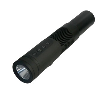
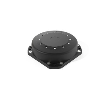
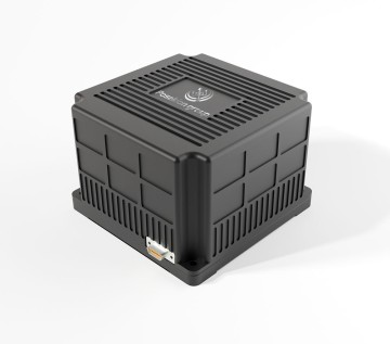
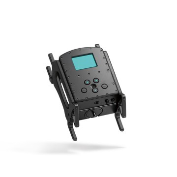
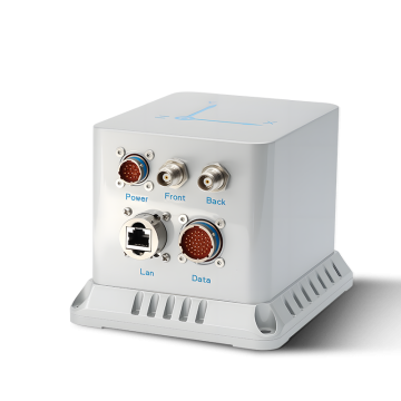
Top 3 Drone Inertial Navigation System Is The Best Your Trusted OEM Partner
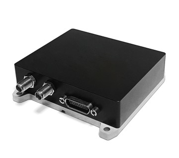
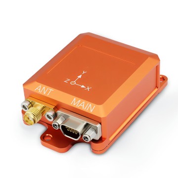


O
Oliver Brown
The quality of the item is outstanding. Customer service went above and beyond in assisting me.
31
May
2025
L
Lucas Green
What a great experience! The product has great quality, and the service team was very professional.
04
July
2025
M
Madison Roberts
Great quality and very resilient! After-sales personnel were extremely helpful.
11
June
2025
M
Mia Morgan
High standards all around! Customer service staff were knowledgeable and extremely helpful.
06
July
2025
S
Samuel Bennett
The product is outstanding! Their after-sales support was prompt and effective.
17
June
2025
C
Chloe Lee
Fantastic experience! The product is superb, and so was the support.
11
June
2025