 TBSD60
 BSD120
 BSD98
BSD98 BSD70
BSD70 BSD60
BSD60 BSD50
BSD50 BSD217
 INS1700
 INS970
 INS570
 INS170
 SLA-4B1L1-65
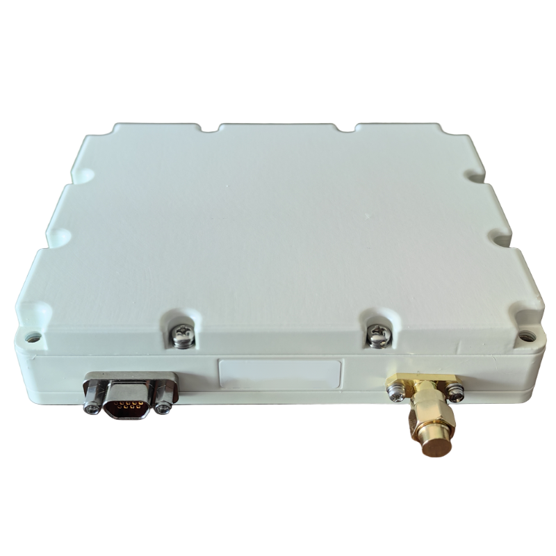 SLA-8B1L1-110
 SLA-4B1L1-130
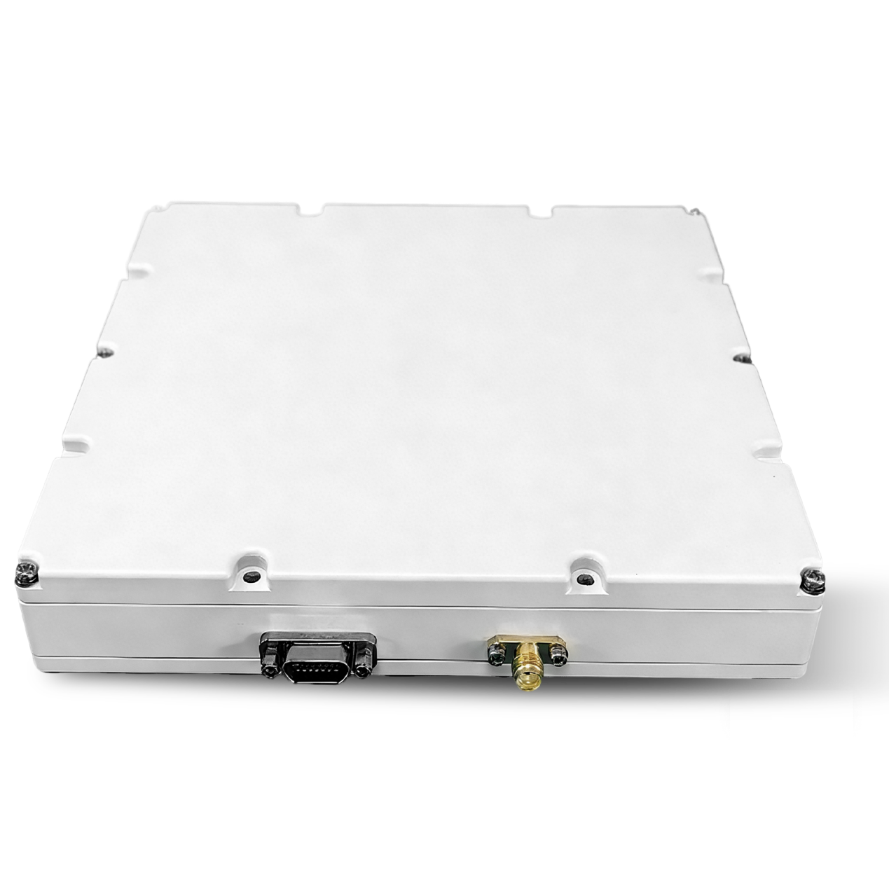 SLA-16B1L1-160
 SLA-8B1L1-165
 101 Vessel-mounted Positioning
 102 Acoustic Communication
 103 Tracking and Locating
 104 Diver Navigation System
 105 Intrusion Detection Sonar
 106 Delivery Locator Beacon
 SLLR3000
 SLLR905
 SLLD25
 108IMU
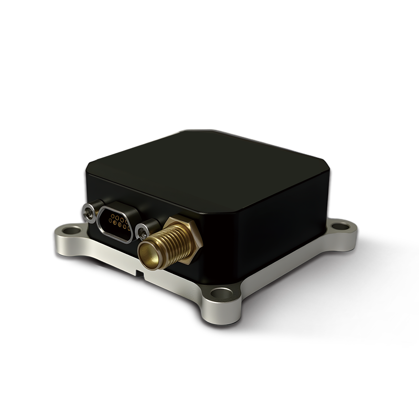 150M
150M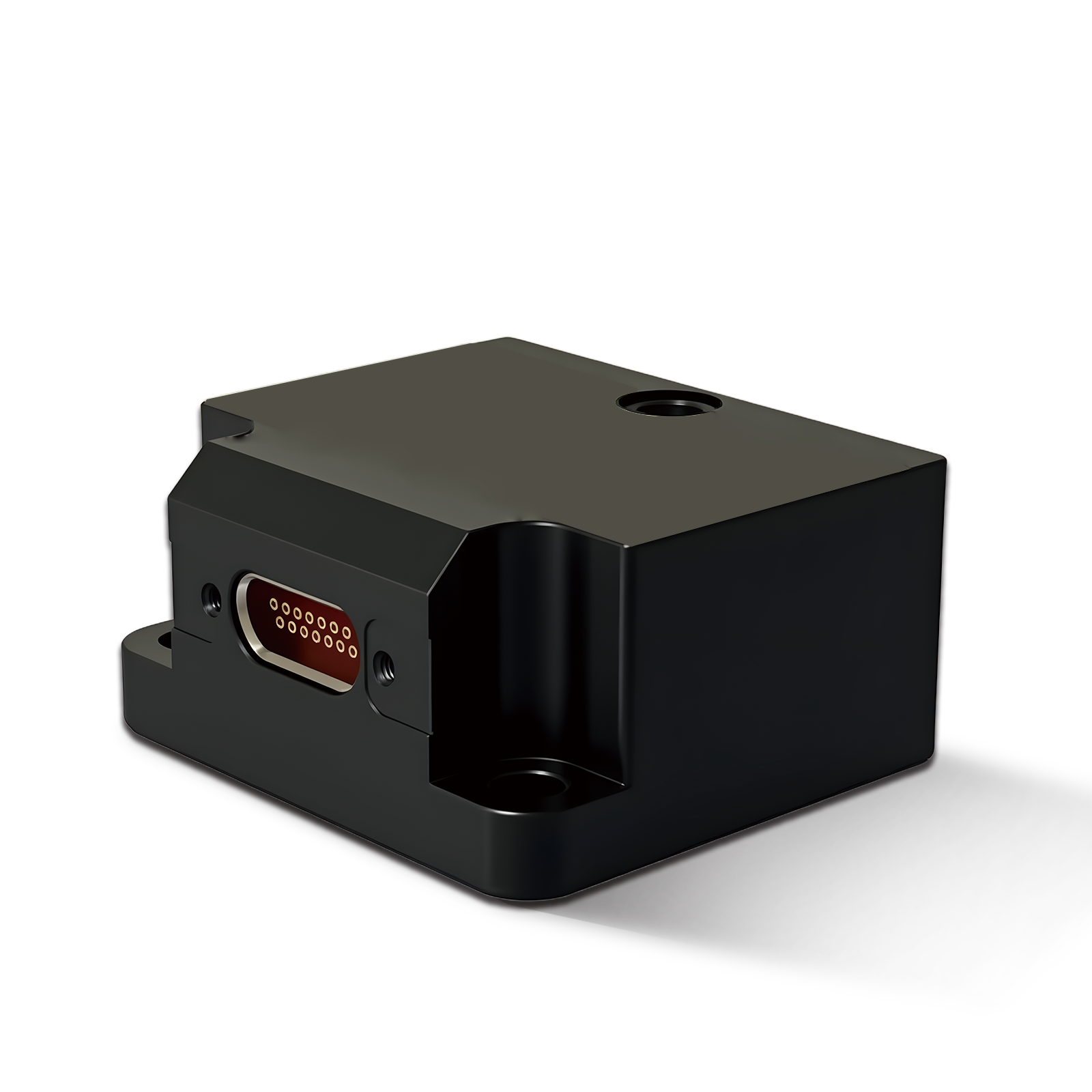 500MH
500MH 160M
160M 170M
170M SLFC-70
 SLAF280
 MR360
MR360


Application of inertial navigation systems for unmanned aircraft
The application of inertial navigation systems (INS) in unmanned aerial vehicles (UAVs) includes a number of areas covering autonomous flight, precise positioning, target tracking and navigation in complex environments. Specific application scenarios and key technical solutions are listed below:
1. Main functions of INS unmanned aerial vehicles
(1) Autonomous navigation and positioning
● INS provides fully autonomous navigation without the need for external signals and is suitable for environments with limited or interfering GPS signals.
● When combined with **GNSS (GPS/BeiDou)** to provide global positioning, INS is used for short-term compensation for GPS loss situations.
(2) Position control and stabilization
● INS measures the pitch, roll and heading angles of the UAV in real time to ensure smooth flight.
● INS data optimizes the flight control system (FCS) in situations such as wind disturbances or sharp turns.
(3) Tracking the target and completing the mission
● Targeting, cruising and precision attacks (e.g. military UAVs) can be achieved by combining INS with radar and vision systems.
● During mapping or reconnaissance missions, the INS ensures that the aircraft follows a predetermined route and reduces the number of errors.
(4) Combined navigation Increased accuracy of INS
● INS+GNSS: a common navigation scheme for long-range unmanned aerial vehicles.
● INS+Visual SLAM: for areas with limited GPS space such as indoor areas, forests, canyons, etc.
● INS+LiDAR: improved terrain sensing for mapping drones.
● INS+RTK: For centimeter-level positioning, suitable for high-precision applications such as agriculture and mapping.
2. Application of INS on various types of unmanned aerial vehicles
(1) Fixed wing UAV
● Suitable for long-range and wide-range cruising missions (e.g. border patrol, environmental monitoring).
● Combined INS+GNSS navigation: improves navigation accuracy during long flights and prevents drift due to loss of GPS signal.
● INS+ Optical Flow/Visual Navigation: Enhanced navigation capabilities for low-altitude or urban operations.
(2) Rotary-wing UAVs (multi-rotor, helicopter)
● Suitable for fine work (eg logistics, crop protection, urban inspection).
● INS+RTK-GNSS: Improved hovering accuracy for precise placement (e.g. pesticide spraying).
● INS+SLAM: Suitable for use in conditions where GPS access is limited, such as in warehouses or when inspecting the interior of buildings.
(3) Fixed-wing vertical takeoff and landing (VTOL) UAV
● Combining the advantages of airplanes and helicopters, it is suitable for difficult conditions (eg mountain reconnaissance, maritime patrol).
● INS+GNSS+barometer: improve stability during takeoff and landing and course tracking accuracy.
(4) Military drones
● High-precision INS (Fiber Optic Gyro/Laser Gyro) + GPS: Ensures accurate positioning even in conditions of strong interference.
● INS+Radar/IR: Advanced combat sensing capabilities, such as unmanned combat aircraft, unmanned reconnaissance aircraft.
3. Key technical solutions
|
Solution |
Compound |
Advantages |
Applicable scenarios |
|
INS Pure Inertial Navigation |
High-precision IMU (FOG, MEMS) |
Complete autonomy, protection from interference |
Short-term autonomous navigation, GPS loss scenarios |
|
INS+GNSS |
MEMS/FOG INS + GPS/BeiDou |
High precision, wide application |
Mapping, patrol and reconnaissance drones |
|
INS + visual SLAM |
INS + camera |
Suitable for environments without GPS |
Indoor flights, forest exploration |
|
INS+LiDAR |
INS + LIDAR |
Strong 3D construction skills |
Mapping, low flying drones |
|
INS+RTK-GNSS |
INS + RTK GPS |
centimeter level positioning |
Agriculture, cartography, high-precision logistics |
4. Future directions
● high-precision miniature INS (e.g. MEMS IMU for consumer drones).
● INS technology with anti-jamming capability (improves navigation in GPS failure conditions).
● cable-stayed inertial navigation (the navigation technology of the future for long periods of time without drift).
Inertial navigation systems (INS) have become a core technology for unmanned aerial vehicles, and as sensors and algorithms evolve, INS will provide more accurate navigation in more challenging environments.